Diffa Airport
| Diffa Airport | |||||||||||
|---|---|---|---|---|---|---|---|---|---|---|---|
| Summary | |||||||||||
| Airport type | Public | ||||||||||
| Owner | Government | ||||||||||
| Location | Diffa, Niger | ||||||||||
| Elevation AMSL | 994 ft / 303 m | ||||||||||
| Coordinates | 13°22′20″N 12°37′30″E / 13.37222°N 12.62500°ECoordinates: 13°22′20″N 12°37′30″E / 13.37222°N 12.62500°E | ||||||||||
| Map | |||||||||||
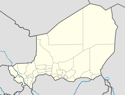 DRZF Location of the airport in Niger | |||||||||||
| Runways | |||||||||||
| |||||||||||
Diffa Airport (ICAO: DRZF) is an airport serving Diffa, a town in Niger.[3]
The airport is in the desert 6 kilometres (3.7 mi) north of Diffa. The runway has an additional 800 metres (2,600 ft) unpaved overrun on the east end.
See also


- Transport in Niger
- List of airports in Niger
References
- ↑ Airport information for Diffa Airport at Great Circle Mapper.
- ↑ Google Maps - Diffa Airfield
- ↑ "Attributions des départements de l'ANAC." Agence nationale de l'aviation civile du Niger. Retrieved on 9 Sept 2017.
External links
- OpenStreetMap - Diffa
- OurAirports - Diffa
- SkyVector - Diffa
- FallingRain - Diffa Airport
- Airport information for Diffa Airport at World Aero Data. Data current as of October 2006.
- Accident history for Diffa Airport at Aviation Safety Network
This article is issued from
Wikipedia.
The text is licensed under Creative Commons - Attribution - Sharealike.
Additional terms may apply for the media files.