Iferouane Airport
| Iferouane Airport | |||||||||||
|---|---|---|---|---|---|---|---|---|---|---|---|
| Summary | |||||||||||
| Airport type | Public | ||||||||||
| Serves | Iferouane | ||||||||||
| Elevation AMSL | 2,162 ft / 659 m | ||||||||||
| Coordinates | 19°04′00″N 8°24′55″E / 19.06667°N 8.41528°ECoordinates: 19°04′00″N 8°24′55″E / 19.06667°N 8.41528°E | ||||||||||
| Map | |||||||||||
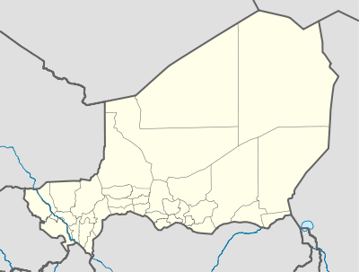 DRZI Location of the airport in Niger | |||||||||||
| Runways | |||||||||||
| |||||||||||
|
Source: Google Maps[1] | |||||||||||
Iferouane Airport (ICAO: DRZI) is an airport serving Iferouane, Niger. It is located just west of the town.
See also

References
External links
This article is issued from
Wikipedia.
The text is licensed under Creative Commons - Attribution - Sharealike.
Additional terms may apply for the media files.