Gaya Airport (Niger)
| Gaya Airport | |||||||||||
|---|---|---|---|---|---|---|---|---|---|---|---|
| Summary | |||||||||||
| Airport type | Public | ||||||||||
| Serves | Gaya | ||||||||||
| Elevation AMSL | 662 ft / 202 m | ||||||||||
| Coordinates | 11°53′20″N 3°25′40″E / 11.88889°N 3.42778°ECoordinates: 11°53′20″N 3°25′40″E / 11.88889°N 3.42778°E | ||||||||||
| Map | |||||||||||
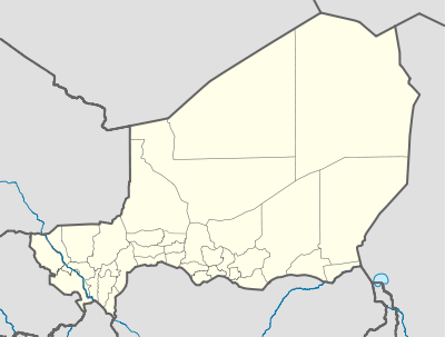 DRRG Location of the airport in Niger | |||||||||||
| Runways | |||||||||||
| |||||||||||
|
Source: Google Maps[1] | |||||||||||
Gaya Airport (ICAO: DRRG) is an airport serving Gaya, Dosso Region, Niger. It is located 2 kilometres (1.2 mi) west of the city centre.
See also

References
- OurAirports - Niger
- Great Circle Mapper - Gaya
- Gaya Airport
- Google Earth
External links
This article is issued from
Wikipedia.
The text is licensed under Creative Commons - Attribution - Sharealike.
Additional terms may apply for the media files.