Tijat
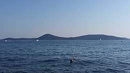 View from Vodice | |
| Geography | |
|---|---|
| Location | Adriatic Sea |
| Coordinates | 43°43′21″N 15°45′50″E / 43.72250°N 15.76389°ECoordinates: 43°43′21″N 15°45′50″E / 43.72250°N 15.76389°E |
| Archipelago | Kornati Islands |
| Area | 2.78 km2 (1.07 sq mi) |
| Highest elevation | 119 m (390 ft) |
| Highest point | Vela glava |
| Administration | |
| Demographics | |
| Population | 0 |
Tijat is an uninhabited Croatian island in the Adriatic Sea located southwest of Vodice and west of Prvić. Its area is 2.78 km2 (1.07 sq mi).[1]
The land is mostly owned by people of Šepurina from island Prvić.
Tijašćica bay is located on the southeast part of the island, exposed to the jugo wind and sheltered from other winds.
References
- ↑ Duplančić Leder, Tea; Ujević, Tin; Čala, Mendi (June 2004). "Coastline lengths and areas of islands in the Croatian part of the Adriatic Sea determined from the topographic maps at the scale of 1 : 25 000" (PDF). Geoadria. Zadar. 9 (1): 5–32. Retrieved 2011-01-21.
This article is issued from
Wikipedia.
The text is licensed under Creative Commons - Attribution - Sharealike.
Additional terms may apply for the media files.