Sugarloaf (New York)
| Sugarloaf | |
|---|---|
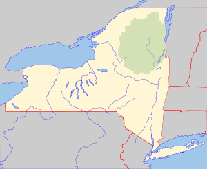 Sugarloaf Location of Sugarloaf within New York  Sugarloaf Sugarloaf (the US) | |
| Highest point | |
| Elevation | 2,201 feet (671 m) |
| Coordinates | 43°49′58″N 74°49′20″W / 43.8328423°N 74.8221192°WCoordinates: 43°49′58″N 74°49′20″W / 43.8328423°N 74.8221192°W [1] |
| Geography | |
| Location | SE of Little Rapids, New York, USA |
| Topo map | USGS Eagle Bay |
Sugarloaf is a summit in Herkimer County, New York and partly in Hamilton County, New York in the Adirondack Mountains. It is located southeast of Little Rapids in the Town of Webb. Mount Tom is located north-northwest of Sugarloaf.
References
- ↑ "Sugarloaf". Geographic Names Information System. United States Geological Survey. Retrieved 2017-12-10.
This article is issued from
Wikipedia.
The text is licensed under Creative Commons - Attribution - Sharealike.
Additional terms may apply for the media files.