Steegen
| Steegen | ||
|---|---|---|
| ||
 Steegen Location within Austria
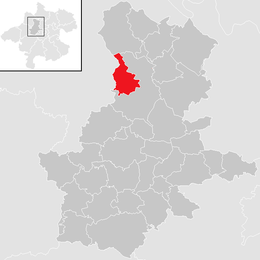
Location in the district
| ||
| Coordinates: 48°20′24″N 13°45′55″E / 48.34000°N 13.76528°ECoordinates: 48°20′24″N 13°45′55″E / 48.34000°N 13.76528°E | ||
| Country | Austria | |
| State | Upper Austria | |
| District | Grieskirchen | |
| Government | ||
| • Mayor | Kurt Friedwagner (ÖVP) | |
| Area | ||
| • Total | 13.2 km2 (5.1 sq mi) | |
| Elevation | 380 m (1,250 ft) | |
| Population (14 June 2016)[1] | ||
| • Total | 1,048 | |
| • Density | 79/km2 (210/sq mi) | |
| Time zone | UTC+1 (CET) | |
| • Summer (DST) | UTC+2 (CEST) | |
| Postal code | 4722 | |
| Area code | 07276 | |
| Vehicle registration | GR | |
| Website | www.steegen.at | |

Steegen is a municipality in the district of Grieskirchen in the Austrian state of Upper Austria.
Geography
Steegen lies in the Hausruckviertel. About 9 percent of the municipality is forest, and 82 percent is farmland.
References
| Wikimedia Commons has media related to Steegen. |
This article is issued from
Wikipedia.
The text is licensed under Creative Commons - Attribution - Sharealike.
Additional terms may apply for the media files.