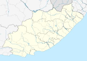
Southwell, Eastern Cape
| Southwell | |
|---|---|
 St James Anglican Church, Southwell | |
 Southwell  Southwell Southwell (South Africa)  Southwell Southwell (Africa) | |
| Coordinates: 33°32′09″S 26°41′19″E / 33.53583°S 26.68861°ECoordinates: 33°32′09″S 26°41′19″E / 33.53583°S 26.68861°E | |
| Country | South Africa |
| Province | Eastern Cape |
| District | Sarah Baartman |
| Municipality | Ndlambe |
| Time zone | UTC+2 (SAST) |
Southwell is a settlement within the former farming district of the same name, about 23 kilometres (14 mi) from Port Alfred and about 35 kilometres (22 mi) from Grahamstown.
Established in 1849 as a mission station, it was located at Lombard's Post,[1] a fortified farmhouse originally granted to Pieter Lombard in 1790 as a leningsplaas (loan farm).[2] Canon Henry Waters was the first resident minister.[1]
In the mid-19th century it hosted a Xhosa school, which was closed down during Mlanjeni's War.[3]
The local St James Anglican Church was built in 1870.[4][5]The foundation stone was laid by Nathaniel Merriman, Archdeacon of Grahamstown.[1]
References
- 1 2 3 "Mission Stations - N-S". South African History Online. Retrieved 6 September 2014.
- ↑ "Lombard's Post, Bathurst". Artefacts. Retrieved 6 September 2014.
- ↑ Peires, Jeffrey B. (1989). The Dead Will Arise: Nongqawuse and the Great Xhosa Cattle-killing Movement of 1856-7. Indiana University Press. p. 35. ISBN 0-253-20524-7.
- ↑ "Eastern Cape, ALBANY district, Southwell, St James Anglican Church, cemetery". eGGSA library. Retrieved 6 September 2014.
- ↑ St James Church
External links
![]()
This article is issued from
Wikipedia.
The text is licensed under Creative Commons - Attribution - Sharealike.
Additional terms may apply for the media files.
.svg.png)