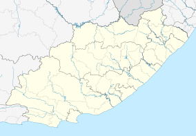
Kommadagga
| Kommadagga | |
|---|---|
 Kommadagga  Kommadagga Kommadagga (South Africa)  Kommadagga Kommadagga (Africa) | |
| Coordinates: 33°07′08″S 25°54′04″E / 33.11889°S 25.90111°ECoordinates: 33°07′08″S 25°54′04″E / 33.11889°S 25.90111°E | |
| Country | South Africa |
| Province | Eastern Cape |
| District | Sarah Baartman |
| Municipality | Blue Crane Route |
| Time zone | UTC+2 (SAST) |
| PO box | 5800 |
Kommadagga is a settlement 28 kilometres (17 mi) west-north-west of Riebeek East and 49 kilometres (30 mi) north of Paterson. The name is Khoekhoen and probably means 'oxland' or 'ox hill'. The origin is uncertain.[1]
The Anglican church of St. George, Kommadagga is on the farm Three Fountains.[2]
References
- ↑ Raper, Peter E. (1987). Dictionary of Southern African Place Names. Internet Archive. p. 256. Retrieved 28 August 2013.
- ↑ St George Kommadagga
This article is issued from
Wikipedia.
The text is licensed under Creative Commons - Attribution - Sharealike.
Additional terms may apply for the media files.
.svg.png)