South Indian Lake

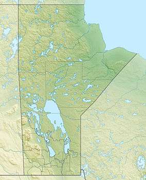
South Indian Lake is a community located on the southeast shore of Southern Indian Lake in Manitoba Canada, about 130 km (81 mi) (by air) north of the city of Thompson. It had a population of 767 in 2011 and is the main settlement of the O-Pipon-Na-Piwin Cree Nation, a First Nations band government.[1]
Access
The lake and the settlement are accessed by the South Indian Lake Airport and Manitoba Provincial Road 493 (Pr493). Pr493. a gravel road, begins at Leaf Rapids on the Pr391 (also a gravel road) and runs 219.1 km (136.1 mi) northeast to its terminus at South Indian Lake. The nearest city, Thompson, is 436 km (271 mi) by road.
History
In the 1970s the level of Southern Indian Lake was raised by 3 m (9.8 ft) as part of the Churchill River Diversion and the settlement was relocated at a higher level.[2]
References
- ↑ "Population and dwelling counts, for Canada and census subdivisions (municipalities), 2011 and 2006 censuses". Statistics Canada, 2011 Census. Retrieved 2015-04-01.
- ↑ "Manitoba Hydro (Churchill River Diversion)". Retrieved 2015-03-30.
External links
Coordinates: 56°46′49″N 98°55′49″W / 56.78028°N 98.93028°W