Sothi
| Sotha, Hisar district, Haryana, India Sothi | |
|---|---|
| Village | |
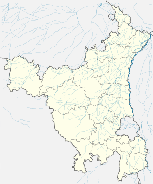
 Sotha in Haryana, India  | |
| Coordinates: 29°34′26″N 76°07′38″E / 29.57389°N 76.12722°ECoordinates: 29°34′26″N 76°07′38″E / 29.57389°N 76.12722°E | |
| Country |
|
| State | Haryana |
| District | Hisar |
| Founded by | Indus Valley Civilization |
| Government | |
| • Type | Local government |
| • Body | Panchayat |
| Elevation | 221 m (725 ft) |
| Population (2011) | |
| • Total | 1,716 |
| Languages | |
| • Official | Hindi |
| Time zone | UTC+5:30 (IST) |
| PIN | 125039[1] |
| Vehicle registration | HR |
Sotha is a village in Haryana, India.
Demography
In 2011, it had 334 families with a population of 1716.[2]
Location
The neolithic Sothi (archaeology) site is located near Nohar in Rajasthan, about 120 km west-south-west of Sothi.
The important archaeological site of Rakhigarhi is located about 30 km south.
Indus Valley Civilisation archaeology
Within 5 km to 10 km radius of Rakhigarhi are early, mature and late Harappan sites. To the north-west of Rakhigarhi are Panhari, Gyanpura, Kagsar, and Sulchani. South-west of Rakhigarhi are Sisai, Hisar, Rajpura, Narnaund, Pali and Masudpur.
Drishadvati River
Siswal is located about 70 km to the south-west, in the valley of the prehistoric Drishadvati River. The site of Rakhigarhi is likewise located in the valley of Drishadvati.[3]
References
- ↑ "Pin codes of Sotha in Hisar". Mapsofindia.com. Retrieved 2016-05-05.
- ↑ census 2011, Sothi in Hisar
- ↑ Jane McIntosh, The Ancient Indus Valley: New Perspectives. Understanding ancient civilizations. ABC-CLIO, 2008 ISBN 1576079074 p76
This article is issued from
Wikipedia.
The text is licensed under Creative Commons - Attribution - Sharealike.
Additional terms may apply for the media files.