Sierra de las Ánimas
| Sierra de las Ánimas | |
|---|---|
 Cerro Pan de Azúcar | |
| Highest point | |
| Peak | Cerro de las Ánimas |
| Elevation | 501 m (1,644 ft) |
| Coordinates | 34°48′33″S 58°15′31″W / 34.80917°S 58.25861°W |
| Geography | |
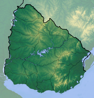 | |
| Country | Uruguay |
| Range coordinates | 34°36′S 55°17′W / 34.600°S 55.283°WCoordinates: 34°36′S 55°17′W / 34.600°S 55.283°W |
| Geology | |
| Age of rock | Precambrian |
| Type of rock | Granite, gneiss |
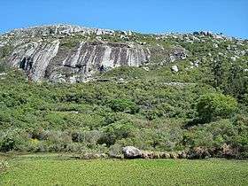
Sierra de las Ánimas is a hill range which starts in Lavalleja Department of Uruguay and extends south into Maldonado Department.
Features
Here in Maldonado Department it includes one of the highest peaks of Uruguay, the top of Cerro de las Ánimas 501 metres (1,644 ft), near the towns Gregorio Aznárez and Las Flores.
It is the only elevated landform of volcanic origin in Uruguay.
Related landform
It is a branch of the Cuchilla Grande which extends north - northeast through Treinta y Tres Department into Cerro Largo Department, and which includes secondary ranges.
See also
Capital: Minas | ||
| Towns and villages | 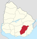 | |
| Sights | ||
Capital: | ||
| Towns and villages | 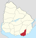 | |
| Sights | ||
This article is issued from
Wikipedia.
The text is licensed under Creative Commons - Attribution - Sharealike.
Additional terms may apply for the media files.