Sibut Airport
| Sibut Airport | |||||||||||
|---|---|---|---|---|---|---|---|---|---|---|---|
| Summary | |||||||||||
| Airport type | Public | ||||||||||
| Owner | Government | ||||||||||
| Serves | Sibut, Central African Republic | ||||||||||
| Elevation AMSL | 1,460 ft / 445 m | ||||||||||
| Coordinates | 5°42′40″N 19°04′15″E / 5.71111°N 19.07083°ECoordinates: 5°42′40″N 19°04′15″E / 5.71111°N 19.07083°E | ||||||||||
| Map | |||||||||||
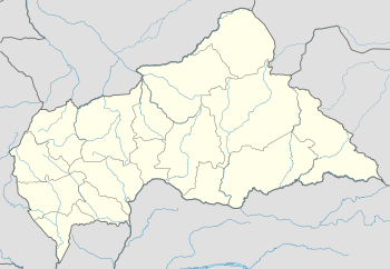 FEFU Location of Sibut Airport in the Central African Republic | |||||||||||
| Runways | |||||||||||
| |||||||||||
Sibut Airport (ICAO: FEFU) is an airstrip serving Sibut, a city in the Kémo prefecture of the Central African Republic. The airstrip is 2 kilometres (1.2 mi) southwest of the town. It was built after January 2014[4] and replaces a long closed airport east of Sibut.
See also


- Transport in the Central African Republic
- List of airports in the Central African Republic
References
- ↑ Airport record for Sibut Airport at Landings.com. Retrieved 2013-08-26
- ↑ Google Maps - Sibut Airport
- ↑ Airport information for Sibut Airport at Great Circle Mapper.
- ↑ Google Earth Historical Imagery 1/1/2014
External links
- OpenStreetMap - Sibut
- Accident history for Sibut Airport at Aviation Safety Network
- OurAirports - Sibut Airport
- FallingRain - Sibut Airport
This article is issued from
Wikipedia.
The text is licensed under Creative Commons - Attribution - Sharealike.
Additional terms may apply for the media files.