Batangafo Airport
| Batangafo Airport | |||||||||||
|---|---|---|---|---|---|---|---|---|---|---|---|
| Summary | |||||||||||
| Airport type | Public | ||||||||||
| Serves | Batangafo, Central African Republic | ||||||||||
| Elevation AMSL | 1,378 ft / 420 m | ||||||||||
| Coordinates | 7°18′50″N 18°18′30″E / 7.31389°N 18.30833°ECoordinates: 7°18′50″N 18°18′30″E / 7.31389°N 18.30833°E | ||||||||||
| Map | |||||||||||
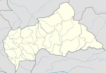 BTG Location of Batangafo Airport in the Central African Republic | |||||||||||
| Runways | |||||||||||
| |||||||||||
Batangafo Airport (IATA: BTG, ICAO: FEGF) is an airport serving Batangafo, a city on the Ouham River in the Ouham prefecture of the Central African Republic. The airport is on the northeastern edge of the city, just off the RN4 road.
See also


- Transport in the Central African Republic
- List of airports in the Central African Republic
References
- ↑ Airport record for Batangafo Airport at Landings.com. Retrieved 2013-08-25
- ↑ Google (2013-08-25). "location of Batangafo Airport" (Map). Google Maps. Google. Retrieved 2013-08-25.
- ↑ Airport information for Batangafo Airport at Great Circle Mapper.
External links
- OpenStreetMap - Batangafo
- OurAirports - Batangafo Airport
- FallingRain - Batangafo Airport
- Accident history for Batangafo Airport at Aviation Safety Network
This article is issued from
Wikipedia.
The text is licensed under Creative Commons - Attribution - Sharealike.
Additional terms may apply for the media files.