Bocaranga Airport
| Bocaranga Airport | |||||||||||
|---|---|---|---|---|---|---|---|---|---|---|---|
| Summary | |||||||||||
| Airport type | Public | ||||||||||
| Serves | Bocaranga, Central African Republic | ||||||||||
| Location | Bokongo | ||||||||||
| Elevation AMSL | 3,464 ft / 1,056 m | ||||||||||
| Coordinates | 6°55′26″N 15°37′30″E / 6.92389°N 15.62500°ECoordinates: 6°55′26″N 15°37′30″E / 6.92389°N 15.62500°E | ||||||||||
| Map | |||||||||||
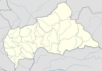 FEGC Location of Bocaranga Airport in the Central African Republic | |||||||||||
| Runways | |||||||||||
| |||||||||||
Bocaranga Airport (ICAO: FEGC) is an airstrip serving Bocaranga, a town in the Ouham-Pendé prefecture of the Central African Republic.
The airport runs alongside the RR4 road at Bokongo, a hamlet 7 kilometres (4 mi) south of Bocaranga.
See also


- Transport in the Central African Republic
- List of airports in the Central African Republic
References
- ↑ Airport record for Bocaranga Airport at Landings.com. Retrieved 2013-08-25
- ↑ Google (2013-08-25). "location of Bocaranga Airport" (Map). Google Maps. Google. Retrieved 2013-08-25.
- ↑ Airport information for Bocaranga Airport at Great Circle Mapper.
External links
- OpenStreetMap - Bocaranga Airport
- OurAirports - Bocaranga Airport
- Accident history for Bocaranga Airport at Aviation Safety Network
This article is issued from
Wikipedia.
The text is licensed under Creative Commons - Attribution - Sharealike.
Additional terms may apply for the media files.