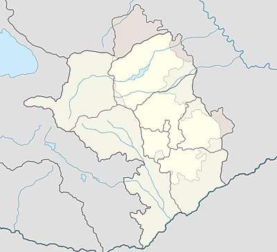
Şuşakənd
| Shushekend / Shosh | |
|---|---|
 Shushekend / Shosh | |
| Coordinates: 39°46′12″N 46°47′05″E / 39.77000°N 46.78472°ECoordinates: 39°46′12″N 46°47′05″E / 39.77000°N 46.78472°E | |
| de jure Country |
|
| de jure Rayon | Khojali |
| de facto Country |
|
| de facto Province | Askeran |
| Time zone | UTC+4 |
Shushekend (Azerbaijani: Şuşakənd Shushekend, Shushikend, also Şuşikənd; Armenian: Շոշ Shosh) is a village internationally recognized as part of Azerbaijan (Khojali Rayon), but currently controlled by the de facto independent unrecognized Republic of Artsakh (Askeran Region). There are two Armenian churches in the village, one in the village center, and S. Stepanos of 1655 CE in the cemetery.[1] Above the village on a rise in the north is a third church with adjacent cemetery and khachkars.[2]
References
- ↑ Mkrtchyan, Shahen. Historical-Architectural Monuments of Nagorno Karabagh. Yerevan, 1989. (Շահեն Մկրտչյան, «Լեռնային Ղարաբաղի պատմաճարտարապետական հուշարձանները»)
- ↑ Mkrtchyan, Shahen. Historical-Architectural Monuments of Nagorno Karabagh. Yerevan, 1989. (Շահեն Մկրտչյան, «Լեռնային Ղարաբաղի պատմաճարտարապետական հուշարձանները»)
.svg.png)
Capital: Askeran | ||
| Urban comunities | 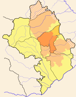 | |
| Rural comunities |
| |
This article is issued from
Wikipedia.
The text is licensed under Creative Commons - Attribution - Sharealike.
Additional terms may apply for the media files.