Hilis
Coordinates: 39°57′17″N 46°41′51″E / 39.95472°N 46.69750°E
| İlis / Հիլիս Hilis | |
|---|---|
 İlis / Հիլիս | |
| Coordinates: 39°57′17″N 46°41′51″E / 39.95472°N 46.69750°E | |
| Country |
De jure De facto |
| Rayon Province |
Khojali Askeran |
| Elevation | 909 m (2,982 ft) |
| Population (2005) | |
| • Total | 172 |
| Time zone | UTC+4 (AZT) |
| • Summer (DST) | UTC+5 (AZT) |
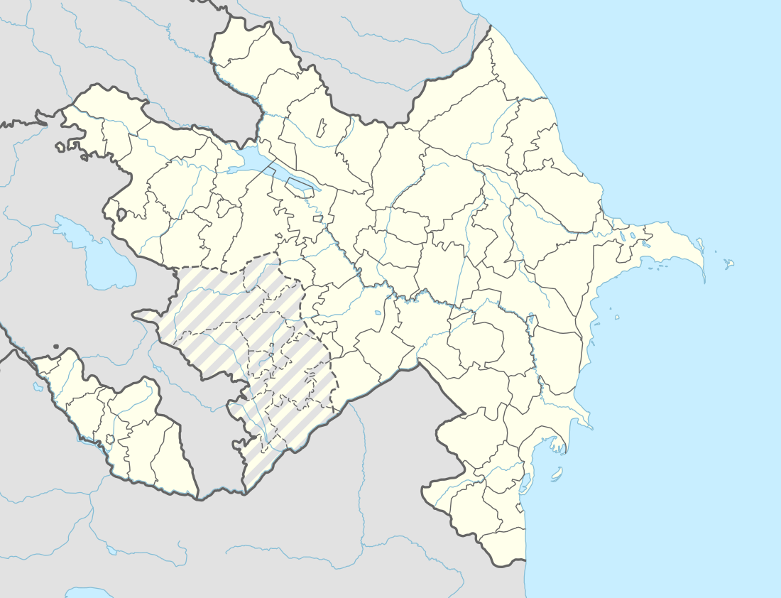
Hilis (Azerbaijani: İlis, Armenian: Հիլիս), is a village in the Khojali Rayon of Azerbaijan. Since the Nagorno-Karabakh war the town has been administered by the de facto Nagorno-Karabakh Republic as part of Askeran Province.[1]
References
.svg.png)
Capital: Askeran | ||
| Urban comunities | 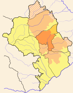 | |
| Rural comunities |
| |
This article is issued from
Wikipedia.
The text is licensed under Creative Commons - Attribution - Sharealike.
Additional terms may apply for the media files.