Reefs Harbour-Shoal Cove West-New Ferolle
 Newfoundland and Labrador | |
| Location |
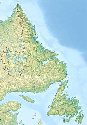
New Férolle Peninsula Newfoundland Canada |
|---|---|
| Coordinates | 51°01′21.26″N 57°05′44.48″W / 51.0225722°N 57.0956889°W |
| Year first constructed | 1913 |
| Foundation | concrete base |
| Construction | concrete tower |
| Tower shape | hexagonal prism tower with six ribs, balcony and lantern |
| Markings / pattern | white tower, red lantern |
| Height | 19 metres (62 ft) |
| Focal height | 27 metres (89 ft) |
| Original lens | third-order Fresnel lens |
| Light source | mains power |
| Range | 20 nautical miles (37 km; 23 mi) |
| Characteristic | Q (4) W 7.5s. |
| Fog signal | 4s. blast every 56s. |
| Admiralty number | H0149 |
| CHS number | CCG 220 |
| NGA number | 2704 |
| ARLHS number | CAN-655 |
| Managing agent | Canadian Coast Guard[1][2] |
Reefs Harbour-Shoal Cove West-New Ferolle is a designated place in the Canadian province of Newfoundland and Labrador, located southwest of Anchor Point. The area consists of three unincorporated communities, Reefs Harbour, Shoal Cove and New Ferolle, located on the New Ferolle Peninsula near Port au Choix.
The area had a population of 230 in the Canada 2011 Census.[3]
See also
References
- ↑ Central and Western Newfoundland The Lighthouse Directory. University of North Carolina at Chapel Hill. Retrieved 16 February 2017
- ↑ List of Lights, Pub. 110: Greenland, The East Coasts of North and South America (Excluding Continental U.S.A. Except the East Coast of Florida) and the West Indies (PDF). List of Lights. United States National Geospatial-Intelligence Agency. 2016.
- ↑ "Census Profile". Statistics Canada. Government of Canada. Retrieved 29 November 2014.
External links
- Aids to Navigation Canadian Coast Guard
Coordinates: 51°01′09″N 57°02′21″W / 51.0193°N 57.0392°W
This article is issued from
Wikipedia.
The text is licensed under Creative Commons - Attribution - Sharealike.
Additional terms may apply for the media files.