Cape Norman
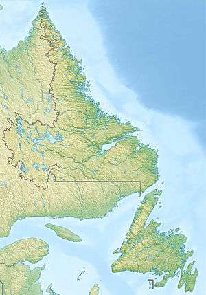 Cape Norman Lighthouse Location of Cape Norman in Newfoundland | |
| Location |
Cape Norman Newfoundland Canada |
|---|---|
| Coordinates | 51°37′41.7″N 55°54′21.1″W / 51.628250°N 55.905861°W |
| Year first constructed | 1871 (first) |
| Year first lit | 1964 (current) |
| Foundation | concrete base |
| Construction | concrete tower |
| Tower shape | octagonal tower with balcony and lantern |
| Markings / pattern | white tower, red lantern |
| Height | 15 metres (49 ft) |
| Focal height | 35 metres (115 ft) |
| Original lens | 3rd order fresnel lens |
| Current lens | 3rd order fresnel lens |
| Range | 21 nautical miles (39 km; 24 mi) |
| Characteristic | Fl (3) W 30s. |
| Admiralty number | H0140 |
| CHS number | CCG 223 |
| NGA number | 1032 |
| ARLHS number | CAN-679 |
| Managing agent | Canadian Coast Guard[1][2] |
Cape Norman is a barren, limestone headland located at the northernmost point of insular Newfoundland in the Canadian province of Newfoundland and Labrador.
Cape Norman first appeared on French maps as Cape Dordois, in 1713, and then as Cape Normand in 1744. Eventually, the name became anglicised to Cape Norman.
Cape Norman Lighthouse
The Canadian government built a wooden, hexagonal lighthouse at Cape Norman during the summer construction seasons of 1870 and 1871, and the lighthouse was lit for the first time on 1 October 1871. In 1890, following the wreck of the SS Montreal at Belle Isle the previous summer, a steam-operated fog alarm was installed at the lightstation. John Campbell, a steam engineer from Pictou, Nova Scotia, was hired as lightkeeper and fog alarm engineer, replacing Henry Locke, the former lightkeeper. Campbell arrived at the cape in July 1890, beginning a family tenure which lasted until 1992, when the lightstation was automated by the Canadian Coast Guard.
See also
References
- ↑ Ceantral and Western Newfoundland The Lighthouse Directory. University of North Carolina at Chapel Hill. Retrieved 6 February 2017
- ↑ List of Lights, Pub. 110: Greenland, The East Coasts of North and South America (Excluding Continental U.S.A. Except the East Coast of Florida) and the West Indies (PDF). List of Lights. United States National Geospatial-Intelligence Agency. 2016.
External links
- Aids to Navigation Canadian Coast Guard
- Lighhouse information
- Lighthouse at Cape Norman
Coordinates: 51°37′50″N 55°53′51″W / 51.63056°N 55.89750°W