Shailkupa Upazila
| Shailkupa | |
|---|---|
| City, Sub Division | |
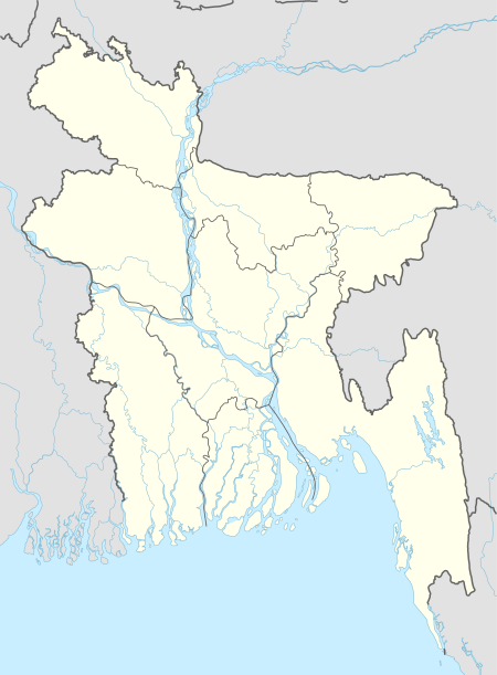
 Shailkupa Location in Bangladesh | |
| Coordinates: 23°41.5′N 89°15′E / 23.6917°N 89.250°ECoordinates: 23°41.5′N 89°15′E / 23.6917°N 89.250°E | |
| Country |
|
| Division | Khulna Division |
| District | Jhenaidah District |
| Area | |
| • Total | 373.42 km2 (144.18 sq mi) |
| Population (1991) | |
| • Total | 293,341 |
| • Density | 786/km2 (2,040/sq mi) |
| Time zone | UTC+6 (BST) |
| Website | shailkupa.jhenaidah.gov.bd |
Shailkupa (Bengali: শৈলকুপা) is an Upazila of Jhenaidah District in the Division of Khulna, Bangladesh.
Geography
It has a total area of 373.42 km². It is located in between 23°34' and 23°46' north latitudes and in between 89°07' and 89°23' east longitudes. It is bounded by Khoksa and Kumarkhali sub-districts on the north, Jhenaidah Sadar and Magura Sadar sub-districts on the south, Pangsha and Sreepur (Magura) sub-districts on the east, Kushtia Sadar and Harinakunda sub-districts on the west.[1]
Demographics
It has 51,595 households. As of the 1991 Bangladesh census, Shailkupa has a population of 293,341. Males constitute 51.43% of the population, and females 48.57%. The adult population numbers 151,516. Shailkupa has an average literacy rate of 66.3% (7+ years) compared to the national average of 32.4%.[2]
History
Shaikupa existed in the Pleistocene Epoch. The first human habitation dates back to 2000 BC though historic evidences are rare to be found. It was under the Maurya Empire between 500 and 200 BC. Later it came under the Samatata Kingdom during the reign of Samudragupta (340-380). When Ballana Sena (1160-1179) ruled the Bengal region, Karkata Nag established a kingdom in Shailkupa opposing the Sena caste system. It came under the British rule in 1786, and Shailkupa thana was established in 1863. In 1889, the people of 48 villages revolted against the British in the historic Indigo Revolt. During Pakistan period (1947-1971), Shailkupa was an important administrative unit. Hundreds of freedom fighters participated in the Liberation War of Bangladesh and freed Shailkupa from Pakistani occupation forces on 13 November 1971.[3]
Administration
Shailkupa has 15 unions, 211 Mauzas/Mahallas, and 258 villages. Karcher Kole union is one of the larger unions. The largest union in Shailkupa is Umedpur holding no.13. The river Gorai flows to the north-east of Shailkupa while the main town is located on the river Kumar.
Notable residents
- Abdul Hyee has been the Member of Parliament for constituency Jhenaidah-1 since 2001.[4][5]
- Golam Mostofa, poet, was born at Manoharpur village in 1897, and attended Shailkupa High School.[6]
- Mustafa Monwar, painter, sculptor, radio performer and professor of fine arts, was born in Shailkupa on 1 September 1935. He is currently the chairman of Bangladesh Shishu Academy. He was awarded Ekushey Padak in 2004 by the Government of Bangladesh.
- Panju Shah Fakir (1851-1914), poet and mystic, was born in Shailkupa, jhenaidah. Some of his songs were compiled in a book titled Bhavsabgit written by his son, Khandaker Rafiquddin.[7]
References
- ↑ http://en.banglapedia.org/index.php?title=Shailkupa_Upazila
- ↑ "Population Census Wing, BBS". Archived from the original on 2005-03-27. Retrieved November 10, 2006.
- ↑ http://shailkupa.jhenaidah.gov.bd/site/page/1561d42b-1c4b-11e7-8f57-286ed488c766
- ↑ "List of 8th Parliament Members". Bangladesh Parliament.
- ↑ "Constituency 81_10th_En". Bangladesh Parliament.
- ↑ "Poet Golam Mustafa's ancestral house in ruins: 50th death anniversary observed". The Financial Express. Dhaka. 14 October 2014.
- ↑ The Daily Star http://www.thedailystar.net/news-detail-113912
