Senanga Airport
| Senanga Airport | |||||||||||
|---|---|---|---|---|---|---|---|---|---|---|---|
| Summary | |||||||||||
| Airport type | Public | ||||||||||
| Serves | Senanga | ||||||||||
| Elevation AMSL | 3,370 ft / 1,027 m | ||||||||||
| Coordinates | 16°06′45″S 23°18′00″E / 16.11250°S 23.30000°ECoordinates: 16°06′45″S 23°18′00″E / 16.11250°S 23.30000°E | ||||||||||
| Map | |||||||||||
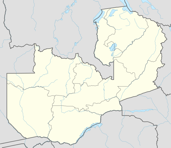 SXG Location of the airport in Zambia | |||||||||||
| Runways | |||||||||||
| |||||||||||
Senanga Airport (IATA: SXG, ICAO: FLSN) is a public airport serving the Zambezi River town of Senanga, Western Province, Zambia.
The airport is in the southwest section of the town. West approach and departure cross the river.
See also


- Transport in Zambia
- List of airports in Zambia
References
- ↑ Google Maps - Senanga
- ↑ Airport information for Senanga Airport at Great Circle Mapper.
External links
- OpenStreetMap - Senanga
- SkyVector - Senanga Airport
- FallingRain - Senanga
- Accident history for Senanga Airport at Aviation Safety Network
- Google Earth
This article is issued from
Wikipedia.
The text is licensed under Creative Commons - Attribution - Sharealike.
Additional terms may apply for the media files.