Savé
| Savé | |
|---|---|
| Commune and city | |
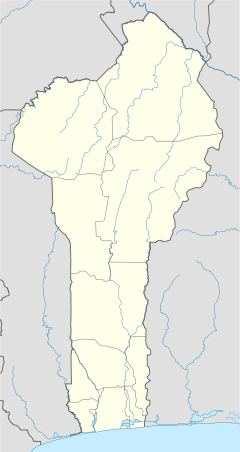 Savé Location in Benin | |
| Coordinates: 08°02′N 02°29′E / 8.033°N 2.483°E | |
| Country |
|
| Department | Collines Department |
| Area | |
| • Total | 2,228 km2 (860 sq mi) |
| Elevation | 151 m (495 ft) |
| Population (2012)[1] | |
| • Total | 97,309 |
| Time zone | UTC+1 (WAT) |
Savé is a city in Benin, lying on the Cotonou-Parakou railway and the main north-south road. It is known for its local boulders, popular with climbers. "Savé" is the corrupted rendition of the historical Yoruba name Sabe
The commune covers an area of 2228 square kilometres and as of 2002 had a population of 67,753 people.[2][3]
Transport
Savé is served by a station of the Benin Railways system.
See also
References
- ↑ "World Gazetteer". Archived from the original on January 11, 2013.
- ↑ "Save". Atlas Monographique des Communes du Benin. Retrieved January 5, 2010.
- ↑ "Communes of Benin". Statoids. Retrieved January 5, 2010.
Coordinates: 08°02′N 02°29′E / 8.033°N 2.483°E

This article is issued from
Wikipedia.
The text is licensed under Creative Commons - Attribution - Sharealike.
Additional terms may apply for the media files.