Saint-Fabien-de-Panet, Quebec
| Saint-Fabien-de-Panet | |
|---|---|
| Parish municipality | |
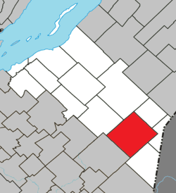 Location within La Matapédia RCM. | |
 Saint-Fabien-de-Panet Location in province of Quebec. | |
| Coordinates: 46°39′N 70°09′W / 46.650°N 70.150°WCoordinates: 46°39′N 70°09′W / 46.650°N 70.150°W[1] | |
| Country |
|
| Province |
|
| Region | Chaudière-Appalaches |
| RCM | Montmagny |
| Constituted | March 26, 1907 |
| Government[2] | |
| • Mayor | Pierre Thibaudeau |
| • Federal riding |
Montmagny—L'Islet— Kamouraska—Rivière- du-Loup |
| • Prov. riding | Côte-du-Sud |
| Area[2][3] | |
| • Total | 188.80 km2 (72.90 sq mi) |
| • Land | 185.29 km2 (71.54 sq mi) |
| Population (2011)[3] | |
| • Total | 992 |
| • Density | 5.4/km2 (14/sq mi) |
| • Pop 2006-2011 |
|
| • Dwellings | 552 |
| Postal code(s) | G0R 2J0 |
| Area code(s) | 418 and 581 |
| Highways |
|
| Website |
www.saintfabien depanet.com |
Saint-Fabien-de-Panet is a parish municipality in Quebec.
See also
References
Adjacent Municipal Subdivisions | |
|---|---|
| Cities & Towns | |
|---|---|
| Municipalities | |
| Parishes | |
| |
This article is issued from
Wikipedia.
The text is licensed under Creative Commons - Attribution - Sharealike.
Additional terms may apply for the media files.