Resunga Municipality
| Resunga Municipality रेसुङ्गा नगरपालिका | |
|---|---|
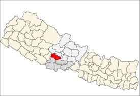
 Resunga Municipality Location in Nepal | |
| Coordinates: 28°4′N 83°15′E / 28.067°N 83.250°ECoordinates: 28°4′N 83°15′E / 28.067°N 83.250°E | |
| Country |
|
| Zone | Lumbini Zone |
| District | Gulmi |
| Government | |
| • Type | Municipality |
| Population (2001) | |
| • Total | 10,680 |
| Time zone | UTC+5:45 (NST) |
| Website | www.reshungamun.gov.np |
Resunga Municipality is a Municipality in Gulmi District in Nepal. The municipality was established by the government on 18 May 2014 by merging the existing 4 village development committee i.e. Arkhale, Dubichaur, Simichaur and Tamghas.[1][2] The municipality is named after the holy place Resunga in Gulmi District.
References
- ↑ 72 new municipalities announced My Republica
- ↑ Govt announces 72 new municipalities The Kathmandu Post
External links
This article is issued from
Wikipedia.
The text is licensed under Creative Commons - Attribution - Sharealike.
Additional terms may apply for the media files.