Rathskirchen
| Rathskirchen | ||
|---|---|---|
| ||
 Rathskirchen Location of Rathskirchen within Donnersbergkreis district 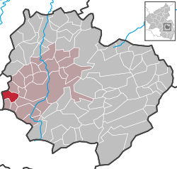 | ||
| Coordinates: 49°36′48.02″N 7°43′18.17″E / 49.6133389°N 7.7217139°ECoordinates: 49°36′48.02″N 7°43′18.17″E / 49.6133389°N 7.7217139°E | ||
| Country | Germany | |
| State | Rhineland-Palatinate | |
| District | Donnersbergkreis | |
| Municipal assoc. | Rockenhausen | |
| Government | ||
| • Mayor | Oskar Stark | |
| Area | ||
| • Total | 5.12 km2 (1.98 sq mi) | |
| Elevation | 290 m (950 ft) | |
| Population (2017-12-31)[1] | ||
| • Total | 170 | |
| • Density | 33/km2 (86/sq mi) | |
| Time zone | CET/CEST (UTC+1/+2) | |
| Postal codes | 67744 | |
| Dialling codes | 06364 | |
| Vehicle registration | KIB | |
| Website | rockenhausen.de | |

Rathskirchen is a municipality in the Donnersbergkreis district, in Rhineland-Palatinate, Germany.
References
- ↑ Statistisches Landesamt Rheinland-Pfalz "Bevölkerungsstand 2017 - Gemeindeebene" Check
|url=value (help). Statistisches Landesamt Rheinland-Pfalz (in German). 2018.
This article is issued from
Wikipedia.
The text is licensed under Creative Commons - Attribution - Sharealike.
Additional terms may apply for the media files.