Pushthrough

Pushthrough
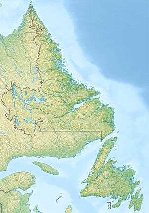
Location of Pushthrough in Newfoundland and Labrador
 Newfoundland | |
| Location |
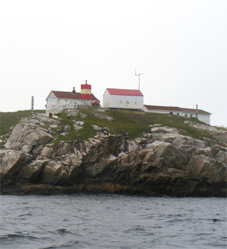
Dawson Point Pushthrough Newfoundland Canada |
|---|---|
| Coordinates | 47°38′37″N 56°08′58″W / 47.6435°N 56.149472°W |
| Year first constructed | 1916 (first) |
| Foundation | concrete base |
| Construction | metal skeletal tower |
| Tower shape | square prism metal tower |
| Markings / pattern | red daymark with a single white horizontal band |
| Height | 4 metres (13 ft) |
| Focal height | 17 metres (56 ft) |
| Light source | solar power |
| Range | 16 nautical miles (30 km; 18 mi) |
| Characteristic | Fl W 5s. |
| Admiralty number | H0276 |
| CHS number | CCG 134 |
| NGA number | 2352 |
| ARLHS number | CAN-838 |
| Managing agent | Canadian Coast Guard[1][2] |
Pushthrough is a settlement in Newfoundland and Labrador.
See also
References
- ↑ Central and Western Newfoundland The Lighthouse Directory. University of North Carolina at Chapel Hill. Retrieved 12 February 2017
- ↑ List of Lights, Pub. 110: Greenland, The East Coasts of North and South America (Excluding Continental U.S.A. Except the East Coast of Florida) and the West Indies (PDF). List of Lights. United States National Geospatial-Intelligence Agency. 2016.
External links
- Picture of the lighthouse
- Aids to Navigation Canadian Coast Guard
Coordinates: 47°38′20″N 56°10′55″W / 47.639°N 56.182°W
This article is issued from
Wikipedia.
The text is licensed under Creative Commons - Attribution - Sharealike.
Additional terms may apply for the media files.