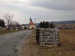
Protivanov
| Protivanov | |||
|---|---|---|---|
| Městys | |||
 | |||
| |||
 Protivanov | |||
| Coordinates: 49°29′0″N 16°49′49″E / 49.48333°N 16.83028°ECoordinates: 49°29′0″N 16°49′49″E / 49.48333°N 16.83028°E | |||
| Country |
| ||
| Region | Olomouc | ||
| District | Prostějov | ||
| Area | |||
| • Total | 18.82 km2 (7.27 sq mi) | ||
| Elevation | 662 m (2,172 ft) | ||
| Population (2006) | |||
| • Total | 1,062 | ||
| • Density | 56/km2 (150/sq mi) | ||
| Postal code | 798 48 | ||


Protivanov is a market town (městys) in Prostějov District in the Olomouc Region of the Czech Republic.
The town covers an area of 18.82 square kilometres (7.27 sq mi), and has a population of 1,062 (as at 28 August 2006).
Protivanov lies approximately 21 kilometres (13 mi) west of Prostějov, 33 km (21 mi) west of Olomouc, and 186 km (116 mi) east of Prague.
References
| Wikimedia Commons has media related to Protivanov. |
This article is issued from
Wikipedia.
The text is licensed under Creative Commons - Attribution - Sharealike.
Additional terms may apply for the media files.