Potholes State Park
| Potholes State Park | |
| Washington State Park | |
 Sagebrush steppe with black-crowned night-heron (Nycticorax nycticorax) rookery in the distant trees, Potholes State Park, April 2006 | |
| Country | United States |
|---|---|
| State | Washington |
| County | Grant |
| Elevation | 1,063 ft (324 m) [1] |
| Coordinates | 46°58′46″N 119°21′03″W / 46.97944°N 119.35083°WCoordinates: 46°58′46″N 119°21′03″W / 46.97944°N 119.35083°W [1] |
| Area | 640 acres (259 ha) |
| Established | Unspecified |
| Management | Washington State Parks and Recreation Commission |
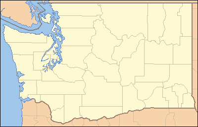 Location in the state of Washington | |
| Website: Potholes State Park | |
Potholes State Park is a 640-acre (260 ha) Washington state park situated on the southern shore of Potholes Reservoir, 25 miles (40 km) northwest of Othello. The park has 6,000 feet (1,800 m) of shoreline and offers camping, hiking, boating, swimming, waterskiing, fishing, and whitewater kayaking.[2]
References
- 1 2 "Potholes State Park". Geographic Names Information System. United States Geological Survey.
- ↑ "Potholes State Park". Washington State Parks and Recreation Commission. Retrieved February 5, 2015.
External links
- Potholes State Park Washington State Parks and Recreation Commission
- Potholes State Park Map Washington State Parks and Recreation Commission
This article is issued from
Wikipedia.
The text is licensed under Creative Commons - Attribution - Sharealike.
Additional terms may apply for the media files.