Pierrepont Manor, New York
| Pierrepont Manor, New York | |
|---|---|
| Census-designated place | |
 Pierrepont Manor  Pierrepont Manor | |
| Coordinates: 43°44′06″N 76°03′32″W / 43.73500°N 76.05889°WCoordinates: 43°44′06″N 76°03′32″W / 43.73500°N 76.05889°W | |
| Country | United States |
| State | New York |
| County | Jefferson |
| Town | Ellisburg |
| Area[1] | |
| • Total | 0.688 sq mi (1.78 km2) |
| • Land | 0.684 sq mi (1.77 km2) |
| • Water | 0.004 sq mi (0.01 km2) |
| Elevation | 623 ft (190 m) |
| Population (2010)[1] | |
| • Total | 228 |
| • Density | 330/sq mi (130/km2) |
| Time zone | UTC-5 (Eastern (EST)) |
| • Summer (DST) | UTC-4 (EDT) |
| ZIP code | 13674 |
| Area code(s) | 315 & 680 |
| GNIS feature ID | 960363[2] |
Pierrepont Manor is a hamlet and census-designated place (CDP) in Jefferson County, New York, United States. Its population was 228 as of the 2010 census.[1] Pierrepont Manor has a post office with ZIP code 13674, which opened on November 29, 1843.[3][4] U.S. Route 11 and New York State Route 193 intersect in the community; it is also served by an exit on Interstate 81.
Geography
According to the U.S. Census Bureau, the community has an area of 0.688 square miles (1.78 km2); 0.684 square miles (1.77 km2) of its area is land, and 0.004 square miles (0.010 km2) is water.[1]
References
- 1 2 3 4 "2010 Census Gazetteer Files - Places: New York". U.S. Census Bureau. Retrieved April 6, 2017.
- ↑ "Pierrepont Manor". Geographic Names Information System. United States Geological Survey.
- ↑ United States Postal Service. "USPS - Look Up a ZIP Code". Retrieved April 6, 2017.
- ↑ "Postmaster Finder - Post Offices by ZIP Code". United States Postal Service. Retrieved April 6, 2017.
Municipalities and communities of Jefferson County, New York, United States | ||
|---|---|---|
| City | 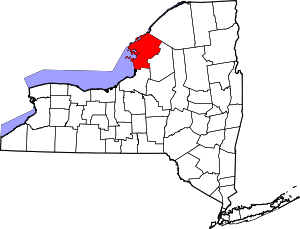 | |
| Towns | ||
| Villages | ||
| CDPs | ||
| Hamlets | ||
This article is issued from
Wikipedia.
The text is licensed under Creative Commons - Attribution - Sharealike.
Additional terms may apply for the media files.