Pacasmayo Airport
| Pacasmayo Airport | |||||||||||
|---|---|---|---|---|---|---|---|---|---|---|---|
| Summary | |||||||||||
| Airport type | Public | ||||||||||
| Serves | Pacasmayo | ||||||||||
| Elevation AMSL | 95 ft / 29 m | ||||||||||
| Coordinates | 7°24′50″S 79°34′13″W / 7.41389°S 79.57028°WCoordinates: 7°24′50″S 79°34′13″W / 7.41389°S 79.57028°W | ||||||||||
| Map | |||||||||||
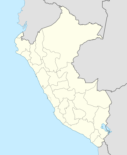 SPYO Location of the airport in Peru | |||||||||||
| Runways | |||||||||||
| |||||||||||
Pacasmayo (ICAO: SPYO) is an airport serving the Pacific coastal town of Pacasmayo in the La Libertad Region of Peru. The runway is just south of the town and 1.6 kilometres (1 mi) inland from the shore.
See also


- Transport in Peru
- List of airports in Peru
References
- ↑ Airport information for Pacasmayo Airport at Great Circle Mapper.
- ↑ "Google Maps". Retrieved 4 September 2016.
External links
- OpenStreetMap - Pacasmayo
- OurAirports - Pacasmayo
- SkyVector - Pacasmayo
- Accident history for Pacasmayo Airport at Aviation Safety Network
This article is issued from
Wikipedia.
The text is licensed under Creative Commons - Attribution - Sharealike.
Additional terms may apply for the media files.