Alerta Airport
| Alerta Airport | |||||||||||
|---|---|---|---|---|---|---|---|---|---|---|---|
| Summary | |||||||||||
| Airport type | Public | ||||||||||
| Operator | CORPAC S.A. | ||||||||||
| Serves | Alerta, Peru | ||||||||||
| Elevation AMSL | 797 ft / 243 m | ||||||||||
| Coordinates | 11°39′00″S 69°13′45″W / 11.65000°S 69.22917°W | ||||||||||
| Map | |||||||||||
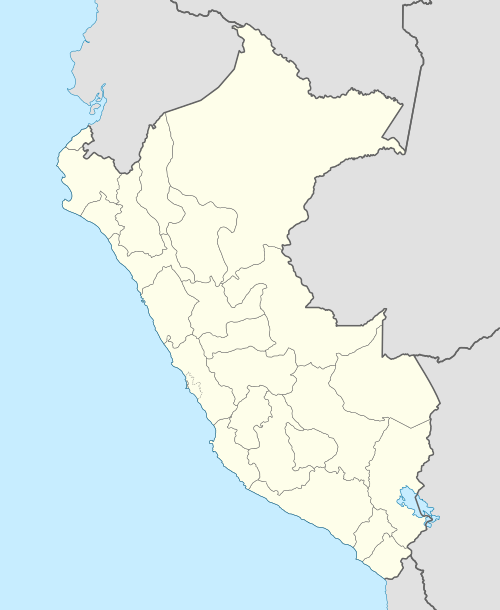 ALD Location of the airport in Peru | |||||||||||
| Runways | |||||||||||
| |||||||||||
Alerta Airport (IATA: ALD, ICAO: SPAR) is an airstrip serving Alerta, a village near the Bolivian border in the Ucayali Region of Peru. The village is on the Río Muymanu (sv), a stream in the Amazon basin.
The airstrip is 1 kilometre (0.6 mi) north of the village. The runway may have 660 metres (2,170 ft) usable length due to encroaching vegetation.[3]
The Iberia non-directional beacon (Ident: IBE) is 19.3 nautical miles (35.7 km) northwest of the airstrip.[4]
See also


- Transport in Peru
- List of airports in Peru
References
- ↑ Airport information for Alerta Airport at Great Circle Mapper.
- ↑ Alerta Airport Landings.com
- ↑ Alerta Airport Google Maps
- ↑ Iberia NDB
External links
- OpenStreetMap - Alerta Airport
- OurAirports Alerta Airport]
- Accident history for Alerta Airport at Aviation Safety Network
This article is issued from
Wikipedia.
The text is licensed under Creative Commons - Attribution - Sharealike.
Additional terms may apply for the media files.