Moyobamba Airport
| Moyobamba Airport | |||||||||||
|---|---|---|---|---|---|---|---|---|---|---|---|
| Summary | |||||||||||
| Airport type | Public | ||||||||||
| Serves | Moyobamba | ||||||||||
| Elevation AMSL | 2,749 ft / 838 m | ||||||||||
| Coordinates | 6°01′15″S 76°59′15″W / 6.02083°S 76.98750°WCoordinates: 6°01′15″S 76°59′15″W / 6.02083°S 76.98750°W | ||||||||||
| Map | |||||||||||
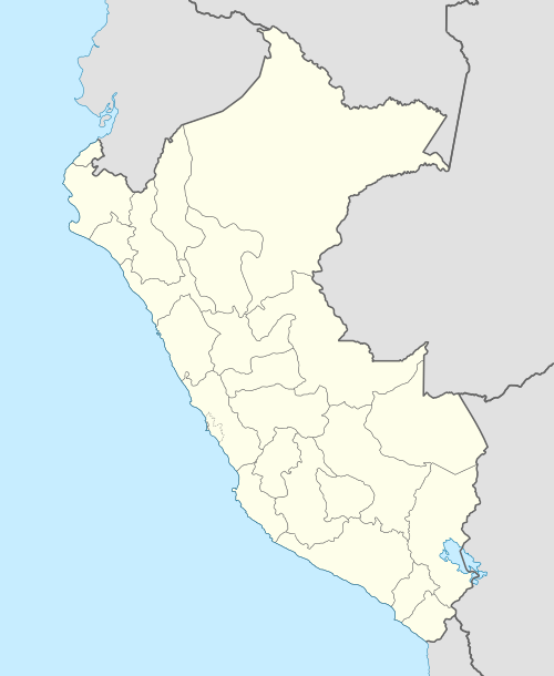 MBP Location of the airport in Peru | |||||||||||
| Runways | |||||||||||
| |||||||||||
Moyobamba (IATA: MBP, ICAO: SPBB) is an airport serving the town of Moyobamba in the San Martín Region of Peru. The runway is just northwest of the town.
See also


- Transport in Peru
- List of airports in Peru
References
- ↑ Airport information for Moyobamba Airport at Great Circle Mapper.
- ↑ Google Maps - Moyobamba
External links
- OpenStreetMap - Moyobamba
- OurAirports - Moyobamba
- Accident history for Moyobamba Airport at Aviation Safety Network
This article is issued from
Wikipedia.
The text is licensed under Creative Commons - Attribution - Sharealike.
Additional terms may apply for the media files.