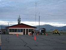
Francisco Carle Airport
| Francisco Carle Airport Jauja Airport | |||||||||||
|---|---|---|---|---|---|---|---|---|---|---|---|
 | |||||||||||
| Summary | |||||||||||
| Airport type | Public | ||||||||||
| Operator | CORPAC | ||||||||||
| Location | Jauja | ||||||||||
| Elevation AMSL | 11,034 ft / 3,363 m | ||||||||||
| Coordinates | 11°47′00″S 75°28′25″W / 11.78333°S 75.47361°WCoordinates: 11°47′00″S 75°28′25″W / 11.78333°S 75.47361°W | ||||||||||
| Map | |||||||||||
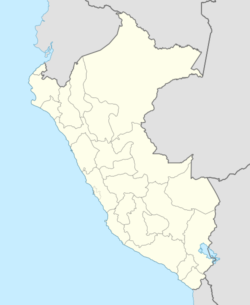 JAU Location of the airport in Peru | |||||||||||
| Runways | |||||||||||
| |||||||||||
Francisco Carle Airport (IATA: JAU, ICAO: SPJJ) is a high-elevation regional airport serving Jauja, in the Junin Region of Peru, and surrounding cities such as Huancayo and Tarma. It is currently served by two scheduled airlines. The airport terminal and runways have undergone expansion to accommodate larger aircraft. Travelers to domestic and international destinations connect in Lima's Jorge Chávez International Airport.
Airlines and destinations
| Airlines | Destinations |
|---|---|
| LATAM Perú | Lima[3] |
| LC Perú | Lima |
| Peruvian Airlines | Lima[4] |
Accidents & Incidents
- On 28 March 2017 Peruvian Airlines Flight 112, operated by Boeing 737-300 (registration OB-2036-P)[5] landing at Francisco Carle Airport swerved off the runway while landing and caught fire. All 141 onboard survived the accident.[6]
See also
References
- ↑ Airport information for JAU at Great Circle Mapper.
- ↑ Google Maps Jauja
- ↑ http://www.routesonline.com/news/38/airlineroute/273365/latam-peru-adds-jauja-service-from-july-2017/
- ↑ http://tnews.com.pe/ppk-inaugurara-manana-el-sistema-de-telecabinas-kuelap/#NEWS6
- ↑ "OB-2036-P Peruvian Airlines Boeing 737-300 - cn 25071 / 2039". www.planespotters.net. Retrieved 2017-03-29.
- ↑ "Peruvian Airlines jet bursts into flames after veering off runway in Peru". The Sydney Morning Herald. 2017-03-29. Retrieved 2017-03-29.
External links
- Airport information for SPJJ at World Aero Data. Data current as of October 2006.
- OurAirports - Jauja
- SkyVector - Francisco Carle
- OpenStreetMap - Jauja
- Accident history for Jauja Airport at Aviation Safety Network
This article is issued from
Wikipedia.
The text is licensed under Creative Commons - Attribution - Sharealike.
Additional terms may apply for the media files.