Périgny, Val-de-Marne
| Périgny | |
|---|---|
| Commune | |
.jpg) The town hall of Périgny | |
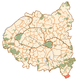 Paris and inner ring departments | |
| Coordinates: 48°41′43″N 2°33′06″E / 48.6953°N 2.5517°ECoordinates: 48°41′43″N 2°33′06″E / 48.6953°N 2.5517°E | |
| Country | France |
| Region | Île-de-France |
| Department | Val-de-Marne |
| Arrondissement | Créteil |
| Canton | Plateau briard |
| Intercommunality | Grand Paris |
| Government | |
| • Mayor (2014-2020) | Georges Urlacher |
| Area1 | 2.79 km2 (1.08 sq mi) |
| Population (2014)2 | 2,545 |
| • Density | 910/km2 (2,400/sq mi) |
| Time zone | UTC+1 (CET) |
| • Summer (DST) | UTC+2 (CEST) |
| INSEE/Postal code | 94056 / |
|
1 French Land Register data, which excludes lakes, ponds, glaciers > 1 km2 (0.386 sq mi or 247 acres) and river estuaries. 2 Population without double counting: residents of multiple communes (e.g., students and military personnel) only counted once. | |
Périgny, also known as Périgny-sur-Yerres, is a commune in the southeastern suburbs of Paris, France. It is located 23.3 km (14.5 mi) from the center of Paris.
Transport
Périgny is served by no station of the Paris Métro, RER, or suburban rail network. The closest station to Périgny is Boussy-Saint-Antoine station on Paris RER line D. This station is located in the neighboring commune of Boussy-Saint-Antoine, 2.1 km (1.3 mi) from the town center of Périgny.
Education
Schools in the commune include Ecole maternelle Suzanne Heinrich (preschool/nursery) and Ecole élémentaire Georges Hure.[1] Junior high school students are assigned to Collège Simone Veil in Mandres-les-Roses. Senior high school/sixth-form students may attend Lycée Guillaume Budé in Limeil-Brévannes and Lycée Christophe Colomb in Sucy-en-Brie.[2]
See also
References
- INSEE
- Mayors of Essonne Association (in French)
- ↑ "Etablissements scolaires." Périgny, Val-de-Marne. Retrieved on September 11, 2016.
- ↑ "Enseignement secondaire." Périgny, Val-de-Marne. Retrieved on September 11, 2016.
External links
| Wikimedia Commons has media related to Périgny (Val-de-Marne). |
- Périgny, Val-de-Marne (in French)