Oxarat
| Oxarat | |
|---|---|
| Unincorporated community | |
 Oxarat | |
| Coordinates: 49°25′59″N 109°35′02″W / 49.433°N 109.584°W | |
| Country | Canada |
| Province | Saskatchewan |
| Region | Southwest |
| Census division | 4 |
| Rural Municipality | Reno |
| Established | 1910 |
| Government | |
| • Administrator | Lacelle Kim |
| • Governing body | Reno No. 51 |
| Population (2006) | |
| • Total | 0 |
| Time zone | CST |
| Postal code | S0N 2G0 |
| Area code(s) | 306 |
| Highways | TWP Rd. 60 |
| Railways | None |
| [1][2][3][4] | |
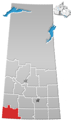
Oxarat is an unincorporated community within Rural Municipality of Reno No. 51, Saskatchewan, Canada. The former town-site is located 15 km west of Highway 21, about 15 km north of the village of Consul and Highway 13.
Population
Oxarat, like so many other communities throughout Saskatchewan, has struggled to maintain a sturdy population causing it to become a ghost town, with few or no residents.
Education
Oxarat no longer has a school, but those who may live in Oxarat and area are sent to the neighboring village of Consul which has a school that covers Kindergarten to Grade 12 serving approximately 100 students.
See also
References
- ↑ National Archives, Archivia Net, Post Offices and Postmasters
- ↑ Government of Saskatchewan, MRD Home, Municipal Directory System, archived from the original on November 21, 2008
- ↑ Canadian Textiles Institute. (2005), CTI Determine your provincial constituency, archived from the original on 2007-09-11
- ↑ Commissioner of Canada Elections, Chief Electoral Officer of Canada (2005), Elections Canada On-line
External links
Places adjacent to Oxarat | ||||||||||
|---|---|---|---|---|---|---|---|---|---|---|
| ||||||||||
| Subdivisions | |
|---|---|
| Communities | |
| Cities | |
| Topics |
|
| |
Coordinates: 49°26′00″N 109°35′03″W / 49.43333°N 109.58417°W
This article is issued from
Wikipedia.
The text is licensed under Creative Commons - Attribution - Sharealike.
Additional terms may apply for the media files.