Ouarsenis
| Ouarsenis Range | |
|---|---|
|
Adrar en Warsnis Ouarsnis / الونشريس | |
.jpg) View of the Ouarsenis Range near Tamalehat Commune | |
| Highest point | |
| Peak | Mount Sidi Amar |
| Elevation | 1,985 m (6,512 ft) |
| Coordinates | 35°52′0″N 1°37′0″E / 35.86667°N 1.61667°ECoordinates: 35°52′0″N 1°37′0″E / 35.86667°N 1.61667°E [1] |
| Geography | |
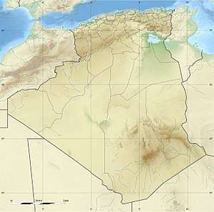 Ouarsenis Range NW Algeria | |
| Parent range | Tell Atlas |
| Geology | |
| Orogeny | Alpine orogeny |
| Age of rock | Miocene |
The Ouarsenis or Ouanchariss (Berber language: Warsnis, meaning "nothing higher", Arabic: الونشريس) is a mountain range and inhabited region in northwestern Algeria.
Geography
The range is located at about 80 km south of the Mediterranean, between the basin of the Chelif River in the north and in the east, the Oued Mina in the west and the Sersou plateau in the south. It reaches its maximum elevation of 1,985 m at the Mount Sidi Amar, near Bordj Bounaama at about 60 km west of Tissemsilt. Other important summits are Achaoun (1850 m), Sidi Abdelkader, Mount Tamedrara and Kef Siga. The mountain range area is inhabited by Berbers.[2]
Protected areas
Although part of its slopes have been used traditionally to grow cereals, the range still has relatively large natural Atlas cedar forests.
The Théniet El Had National Park is a protected area located in the foothills of the Ouarsenis Range.[3]
See also
References
- ↑ Google Earth
- ↑ Le Correspondant, p. 580
- ↑ National Parks in Algeria - Algeria Channel, p. 580
External links

| Tell Atlas |
|
|---|---|
| Saharan Atlas |
|
| Saharan massifs | |
| Peaks |
|