Ouanaminthe Airport
| Aérodrome de Ouanaminthe | |||||||||||
|---|---|---|---|---|---|---|---|---|---|---|---|
| Summary | |||||||||||
| Airport type | Public | ||||||||||
| Operator | Autorité Aéroportuaire Nationale | ||||||||||
| Serves | Ouanaminthe, Haiti | ||||||||||
| Elevation AMSL | 124 ft / 38 m | ||||||||||
| Coordinates | 19°32′15″N 71°43′43″W / 19.53750°N 71.72861°WCoordinates: 19°32′15″N 71°43′43″W / 19.53750°N 71.72861°W | ||||||||||
| Map | |||||||||||
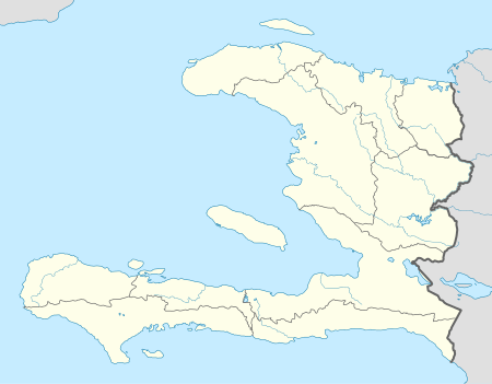
 Ouanaminthe Location in Haiti | |||||||||||
| Runways | |||||||||||
| |||||||||||
|
Sources: Google Maps[1] | |||||||||||
Aérodrome de Ouanaminthe is a small airport that serves the city of Ouanaminthe in the Nord-Est department of Haiti, on the border with Dominican Republic.[2]
See also


- Transport in Haiti
- List of airports in Haiti
References
- ↑ Google Maps - Ouanaminthe
- ↑ "Le Nouvelliste en Haiti - Les aérodromes de province". Lenouvelliste.com. 2006-11-09. Retrieved 2012-01-23.
External links
This article is issued from
Wikipedia.
The text is licensed under Creative Commons - Attribution - Sharealike.
Additional terms may apply for the media files.