Phaeton Airport
| Fort Liberte Airport Aeroport de Phaeton | |||||||||||
|---|---|---|---|---|---|---|---|---|---|---|---|
| Summary | |||||||||||
| Airport type | Public | ||||||||||
| Operator | Autorité Aéroportuaire Nationale | ||||||||||
| Serves | Fort-Liberte, Haiti | ||||||||||
| Location | Phaeton, Nord-Est | ||||||||||
| Elevation AMSL | 35 ft / 11 m | ||||||||||
| Coordinates | 19°40′50″N 71°54′20″W / 19.68056°N 71.90556°WCoordinates: 19°40′50″N 71°54′20″W / 19.68056°N 71.90556°W | ||||||||||
| Website | http://www.aanhaiti.com/aan/ | ||||||||||
| Map | |||||||||||
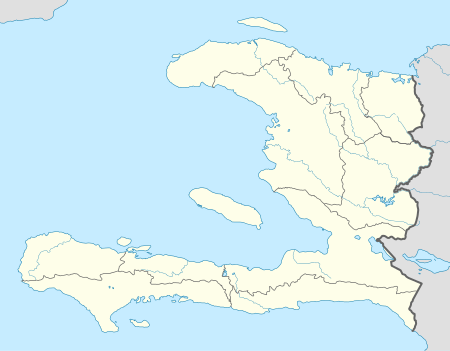 Phaeton Location in Haiti | |||||||||||
| Runways | |||||||||||
| |||||||||||
|
Sources: Google Maps[1] | |||||||||||
Phaeton Airport is an airport located in Phaeton, a town in the Fort-Liberte area of the Nord-Est Department of Haiti.
The Phaeton airport was built as part of the Dauphin Plantation, and is 1 kilometre (0.62 mi) west of the town.
Current satellite imagery shows the runway heavily covered by brush.[1]
See also


- Transport in Haiti
- List of airports in Haiti
References
External links
This article is issued from
Wikipedia.
The text is licensed under Creative Commons - Attribution - Sharealike.
Additional terms may apply for the media files.