Fond-des-Blancs Airport
| Fond-des-Blancs Airport | |||||||||||
|---|---|---|---|---|---|---|---|---|---|---|---|
| Summary | |||||||||||
| Airport type | Public | ||||||||||
| Serves | Fond-des-Blancs | ||||||||||
| Elevation AMSL | 822 ft / 251 m | ||||||||||
| Coordinates | 18°17′10″N 73°06′40″W / 18.28611°N 73.11111°WCoordinates: 18°17′10″N 73°06′40″W / 18.28611°N 73.11111°W | ||||||||||
| Map | |||||||||||
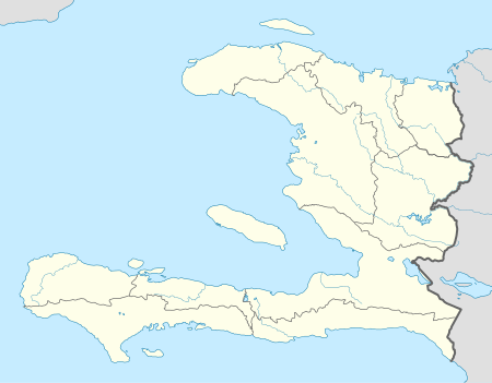 Fond-des-Blancs Location of the airport in Haiti | |||||||||||
| Runways | |||||||||||
| |||||||||||
|
Sources: Google Maps[1] | |||||||||||
Fond-des-Blancs Airport is an airstrip 2 kilometres (1.2 mi) northeast of Fond-des-Blancs, a communal section in the Sud Department of Haiti.
It is surrounded by rising terrain in all quadrants, with large hills immediately south of the runway.
See also

- Transport in Haiti
- List of airports in Haiti
References
External links
This article is issued from
Wikipedia.
The text is licensed under Creative Commons - Attribution - Sharealike.
Additional terms may apply for the media files.