New Town, Luton
| New Town | |
|---|---|
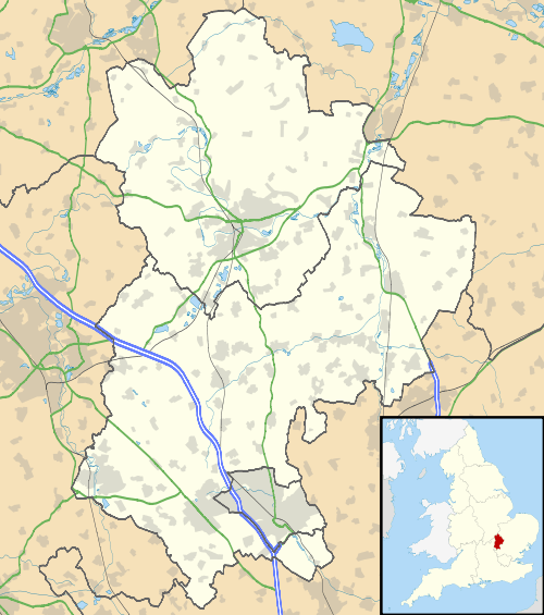 New Town New Town shown within Bedfordshire | |
| Population | Within South ward |
| OS grid reference | TL093202 |
| Unitary authority | |
| Ceremonial county | |
| Region | |
| Country | England |
| Sovereign state | United Kingdom |
| Post town | LUTON |
| Postcode district | LU1 |
| Dialling code | 01582 |
| Police | Bedfordshire |
| Fire | Bedfordshire and Luton |
| Ambulance | East of England |
| EU Parliament | East of England |
| UK Parliament | |
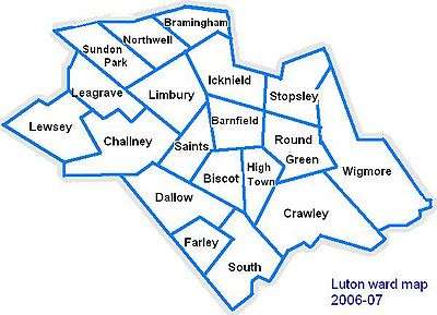
New Town is a district of Luton just south east of the town centre. It is roughly bounded by Castle Street and London Road to the west, Seymour Road to the East, New Town Street to the North, and Cutenhoe Road to the south.
Local Area
Castle Street was the site of a medieval castle[1]. The district has characteristic pubs and has traditionally been a working class area of the town. To alleviate the housing shortage of the 1960s several multi-story flats were built and an industrial park was added in the 1980s to attract new industries. The ring road, which passes nearby, was created at the same time to ease traffic congestion from the M1 motorway to the ever expanding Luton Airport.
Politics
New Town is part of the South ward. The ward forms part of the parliamentary constituency of Luton South, and the MP is Gavin Shuker (Labour). South is situated within the East of England (European Parliament constituency).
Local Newspapers
Two weekly newspapers are delivered free to all the houses in New Town. However they are not specific to New Town. They are:
- Herald and Post - Delivered every Thursday
- Luton on Sunday- Delivered every Sunday
Local Attractions
| Key | |
| Abbey/Priory/Cathedral | |
| Accessible open space | |
| Amusement/Theme Park | |
| Castle | |
| Country Park | |
| English Heritage | |
| Forestry Commission | |
| Heritage railway | |
| Historic House | |
| Museum (free/not free) | |
| National Trust | |
| Theatre | |
| Zoo | |
References
- ↑ "Luton Facts & Trivia". Shout Luton!. Archived from the original on January 1, 2011. Retrieved 26 April 2015.