National Highway 46 (India, old numbering)
| ||||
|---|---|---|---|---|
.png) | ||||
| Route information | ||||
| Length | 148 km (92 mi) | |||
| Major junctions | ||||
| From | Krishnagiri, Tamil Nadu | |||
| To | Walajapet, Vellore district, Tamil Nadu | |||
| Location | ||||
| States | Tamil Nadu: 148 km (92 mi) | |||
| Primary destinations | Vaniyambadi - Ambur - Vellore - Arcot - Walajapet | |||
| Highway system | ||||
| ||||
National Highway 46 is a national highway in the Indian state of Tamil Nadu. It runs from Krishnagiri to Walajapet in the state.[1] It passes through Vellore and it is a highly important connecting road for vehicles travelling between Chennai and Bangalore. The total Length of NH 46 is 148 km (92 mi). The Krishnagiri-Walajapet section is being upgraded to six lanes by L&T on a build-operate-transfer basis.[2]
Route
Krishnagiri, Bargur, Nattrampalli, Vaniyambadi, Ambur, Pallikonda, Vellore, Arcot, Ranipet and Walajapet.[3]
Gallery
 NH 46
NH 46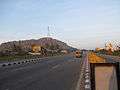 NH 46 near Krishnagiri
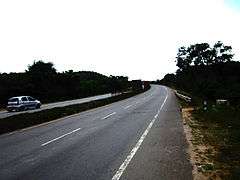 NH 46
NH 46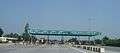 Vaniyambadi-Toll-Plaza on NH46
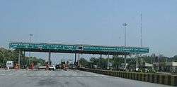 Pallikonda Toll-Plaza on NH46
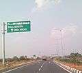
 Sign board on NH 46 between Chennai and Vellore.
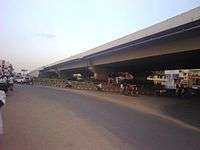 Green Circle Junction flyover on NH 46 in Vellore city
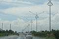 NationalHighway46India
Super road facilities provided by concessionaire
See also
References
- ↑ "National Highways Starting and Terminal Stations". Ministry of Road Transport & Highways. Retrieved 2012-12-02.
- ↑ "L&T bags NHAI Order for Six Laning of Krishnagiri-Walajahpet Highway". Business Standard. 14 May 2010. Retrieved 2012-07-16.
- ↑ "Google Maps". Google Maps.
External links
| Wikimedia Commons has media related to NH 46 (India). |

This article is issued from
Wikipedia.
The text is licensed under Creative Commons - Attribution - Sharealike.
Additional terms may apply for the media files.