Nan'ao County
| Nan'ao County 南澳县 | |
|---|---|
| County | |
 Location of Nan'ao County in Shantou | |
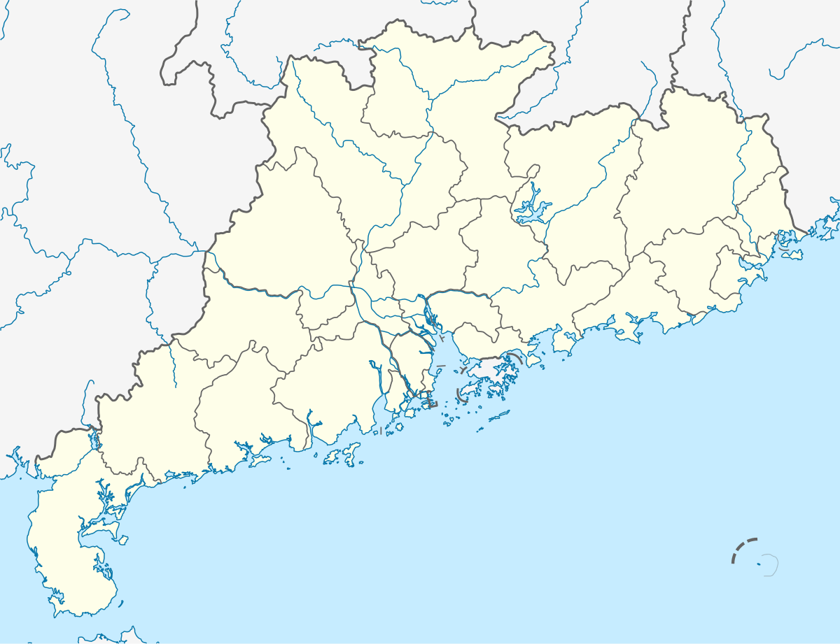 Nan'ao Location in Guangdong | |
| Coordinates: 23°26′N 117°01′E / 23.433°N 117.017°ECoordinates: 23°26′N 117°01′E / 23.433°N 117.017°E | |
| Country | People's Republic of China |
| Province | Guangdong |
| Prefecture-level city | Shantou |
| Time zone | UTC+8 (China Standard) |
Nan'ao County (postal: Namoa; simplified Chinese: 南澳县; traditional Chinese: 南澳縣; pinyin: Nán'ào Xiàn) is a county in Shantou Prefecture-level city, Guangdong Province, China.
History
Chinese Civil War events
Nan'ao Island remained under the control of the Nationalists for a few months after the Communists took control of the Chinese Mainland in 1949. It was captured by the People's Liberation Army during the Battle of Nan'ao Island in March 1950.
In the fall of 1952, the Nationalists tried to capture the Nanpeng Islands, but the ensuing Battle of Nanpēng Archipelago ended in the Communists's victory.
Ancient shipwreck
An important late-Ming shipwreck, nicknamed Nan'ao One, was recently excavated off Nan'ao Island.[1]
Geography

Geographically, the main part of the county is the island of Nan'ao, which lies 2 – 5 miles off the coast of Guangdong. The county also includes a few minor islands nearby, in particular the Nanpeng Archipelago, a chain of islets located some 30 kilometres (19 mi) to the southeast from the Nan'ao Island.
The county has a land area of 108 square kilometres (42 sq mi), and a population of 70,000.
Nan'ao island lies on the Tropic of Cancer.
Climate
| Climate data for Nan'ao (1981−2010) | |||||||||||||
|---|---|---|---|---|---|---|---|---|---|---|---|---|---|
| Month | Jan | Feb | Mar | Apr | May | Jun | Jul | Aug | Sep | Oct | Nov | Dec | Year |
| Record high °C (°F) | 26.4 (79.5) |
28.2 (82.8) |
27.7 (81.9) |
30.2 (86.4) |
32.9 (91.2) |
35.3 (95.5) |
37.8 (100) |
35.4 (95.7) |
35.3 (95.5) |
33.4 (92.1) |
30.6 (87.1) |
27.8 (82) |
37.8 (100) |
| Average high °C (°F) | 18.2 (64.8) |
18.3 (64.9) |
20.5 (68.9) |
23.9 (75) |
27.3 (81.1) |
29.2 (84.6) |
30.6 (87.1) |
30.8 (87.4) |
30.2 (86.4) |
27.7 (81.9) |
24.1 (75.4) |
20.1 (68.2) |
25.1 (77.1) |
| Daily mean °C (°F) | 14.4 (57.9) |
14.8 (58.6) |
16.9 (62.4) |
20.6 (69.1) |
24.2 (75.6) |
26.6 (79.9) |
27.7 (81.9) |
27.7 (81.9) |
27.0 (80.6) |
24.4 (75.9) |
20.6 (69.1) |
16.4 (61.5) |
21.8 (71.2) |
| Average low °C (°F) | 11.7 (53.1) |
12.3 (54.1) |
14.2 (57.6) |
18.0 (64.4) |
21.7 (71.1) |
24.4 (75.9) |
25.1 (77.2) |
25.1 (77.2) |
24.2 (75.6) |
21.6 (70.9) |
17.7 (63.9) |
13.4 (56.1) |
19.1 (66.4) |
| Record low °C (°F) | 3.4 (38.1) |
5.5 (41.9) |
4.4 (39.9) |
8.1 (46.6) |
14.3 (57.7) |
16.9 (62.4) |
21.9 (71.4) |
22.0 (71.6) |
18.0 (64.4) |
12.9 (55.2) |
6.9 (44.4) |
2.5 (36.5) |
2.5 (36.5) |
| Average precipitation mm (inches) | 24.3 (0.957) |
60.1 (2.366) |
91.7 (3.61) |
133.2 (5.244) |
171.3 (6.744) |
247.8 (9.756) |
174.1 (6.854) |
255.3 (10.051) |
153.5 (6.043) |
40.7 (1.602) |
34.6 (1.362) |
30.5 (1.201) |
1,417.1 (55.79) |
| Average relative humidity (%) | 73 | 76 | 78 | 80 | 83 | 87 | 86 | 85 | 78 | 70 | 70 | 70 | 78 |
| Source: China Meteorological Data Service Center | |||||||||||||
References
External links
- Official website of Nan'ao County Government (in Chinese)
| Sub-provincial cities |
| ||||||||||||||||||||||||||||||||||||||||||||||||||||||||||||||||
|---|---|---|---|---|---|---|---|---|---|---|---|---|---|---|---|---|---|---|---|---|---|---|---|---|---|---|---|---|---|---|---|---|---|---|---|---|---|---|---|---|---|---|---|---|---|---|---|---|---|---|---|---|---|---|---|---|---|---|---|---|---|---|---|---|---|
| Prefecture-level cities |
| ||||||||||||||||||||||||||||||||||||||||||||||||||||||||||||||||
| |||||||||||||||||||||||||||||||||||||||||||||||||||||||||||||||||