Dinghu District
| Dinghu 鼎湖区 | |
|---|---|
| District | |
 Dinghu | |
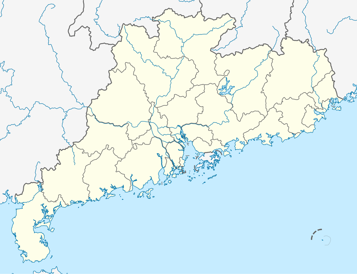 Dinghu Location in Guangdong | |
| Coordinates: 23°11′15″N 112°33′51″E / 23.18750°N 112.56417°ECoordinates: 23°11′15″N 112°33′51″E / 23.18750°N 112.56417°E | |
| Country | People's Republic of China |
| Province | Guangdong |
| Prefecture-level city | Zhaoqing |
| Time zone | UTC+8 (China Standard) |
Dinghu District (Chinese: 鼎湖; pinyin: Dǐnghú; Jyutping: ding2wu4) is a district of Zhaoqing, Guangdong province, People's Republic of China.
Administrative divisions
| Name | Chinese (S) | Hanyu Pinyin | Population (2010)[1] | Area (km2) |
|---|---|---|---|---|
| Kengkou Subdistrict | 坑口街道 | Kēngkǒu Jiēdào | 22,406 | 95.5 |
| Guicheng Subdistrict | 桂城街道 | Guìchéng Jiēdào | 29,930 | 23.3 |
| Guangli Subdistrict | 广利街道 | Guǎnglì Jiēdào | 25,775 | 28 |
| Yong'an town | 永安镇 | Yǒng'ān Zhèn | 29,732 | 80.5 |
| Shapu town | 沙浦镇 | Shāpǔ Zhèn | 15,598 | 105.8 |
| Fenghuang town | 凤凰镇 | Fènghuáng Zhèn | 9,110 | 145 |
| Lianhua town | 莲花镇 | Liánhuā Zhèn | 32,139 | 67 |
See also
References
- ↑ shi, Guo wu yuan ren kou pu cha ban gong; council, Guo jia tong ji ju ren kou he jiu ye tong ji si bian = Tabulation on the 2010 population census of the people's republic of China by township / compiled by Population census office under the state; population, Department of; statistics, employment statistics national bureau of (2012). Zhongguo 2010 nian ren kou pu cha fen xiang, zhen, jie dao zi liao (Di 1 ban. ed.). Beijing Shi: Zhongguo tong ji chu ban she. ISBN 978-7-5037-6660-2.
| Sub-provincial cities |
| ||||||||||||||||||||||||||||||||||||||||||||||||||||||||||||||||
|---|---|---|---|---|---|---|---|---|---|---|---|---|---|---|---|---|---|---|---|---|---|---|---|---|---|---|---|---|---|---|---|---|---|---|---|---|---|---|---|---|---|---|---|---|---|---|---|---|---|---|---|---|---|---|---|---|---|---|---|---|---|---|---|---|---|
| Prefecture-level cities |
| ||||||||||||||||||||||||||||||||||||||||||||||||||||||||||||||||
| |||||||||||||||||||||||||||||||||||||||||||||||||||||||||||||||||
This article is issued from
Wikipedia.
The text is licensed under Creative Commons - Attribution - Sharealike.
Additional terms may apply for the media files.