Nam Fung Chau
| Native name: 南風洲 | |
|---|---|
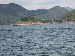 The islet of Nam Fung Chau is visible in the centre left. The land in the background is the southwestern coast of High Island, a former island of Sai Kung District, Hong Kong. | |
 Nam Fung Chau | |
| Geography | |
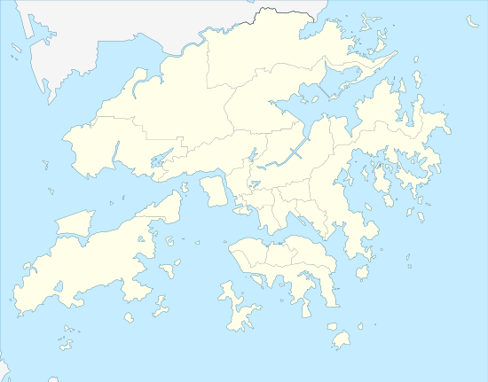
| Coordinates | 22°20′32″N 114°21′06″E / 22.342300°N 114.351792°ECoordinates: 22°20′32″N 114°21′06″E / 22.342300°N 114.351792°E |
| Administration | |
| Districts | Sai Kung District |
[[File:|thumb|]] Nam Fung Chau (Chinese: 南風洲) is an island of Hong Kong, under the administration of Sai Kung District. It is located in Rocky Harbour (Leung Shuen Wan Hoi 糧船灣海).
This article is issued from
Wikipedia.
The text is licensed under Creative Commons - Attribution - Sharealike.
Additional terms may apply for the media files.