Moquah Barrens Research Natural Area
| Moquah Barrens Research Natural Area | |
|---|---|
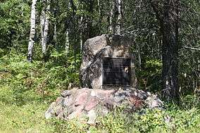 Sign and forest | |
 Map of Wisconsin | |
| Location | Bayfield County, Wisconsin |
| Coordinates | 46°37′35″N 91°15′00″W / 46.62639°N 91.25000°WCoordinates: 46°37′35″N 91°15′00″W / 46.62639°N 91.25000°W |
| Area | 636 acres (257 ha) |
| Designated | 1980 |
Moquah Barrens Research Natural Area is a 636-acre (257 ha) area of pine barrens in Bayfield County, Wisconsin.[1] It is located within the Chequamegon-Nicolet National Forest.[2] The area was designated a Wisconsin State Natural Area in 1970 and a National Natural Landmark in 1980.
References
- ↑ "Moquah Barrens Research Natural Area". National Park Service. Retrieved 2012-01-19.
- ↑ "Moquah Barrens (No. 83)". Wisconsin Department of Natural Resources. Retrieved 2012-01-19.
This article is issued from
Wikipedia.
The text is licensed under Creative Commons - Attribution - Sharealike.
Additional terms may apply for the media files.