Missouri's 1st congressional district
| Missouri's 1st congressional district | |
|---|---|
.tif.png) Missouri's 1st congressional district - since January 3, 2013. | |
| Current Representative | William Lacy Clay Jr. (D–St. Louis) |
| Distribution |
|
| Population (2010) | 739,775 |
| Median income | 36,314 |
| Ethnicity |
|
| Cook PVI | D+29[1] |
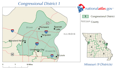
Missouri's first congressional district is in the eastern portion of the state. It includes all of St. Louis City and much of northern St. Louis County.
Its current representative is Democrat William Lacy Clay Jr., who was elected in 2001. Clay's father, Bill Clay, had previously represented the district for over thirty years.
List of representatives
| Congress | Years | Representative | Party | Notes | |
|---|---|---|---|---|---|
| District created March 4, 1847 | |||||
| 30th–31st | March 4, 1847 – March 3, 1851 | 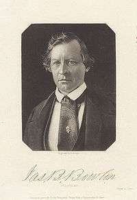 |
Democratic | Redistricted from the At-large district | |
| 32nd | March 4, 1851 – March 3, 1853 | 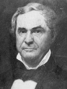 |
Whig | ||
| 33rd | March 4, 1853 – March 3, 1855 |  |
Democratic | ||
| 34th | March 4, 1855 – March 3, 1857 | .jpg) |
Opposition | ||
| 35th | March 4, 1857 – March 3, 1859 | 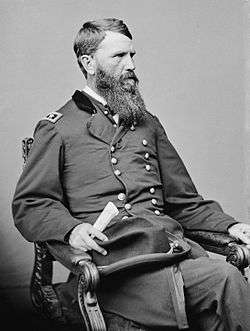 |
Republican | ||
| 36th | March 4, 1859 – June 8, 1860 | .jpg) |
Democratic | Lost contested election | |
| June 8, 1860 – June 25, 1860 | |
Republican | Won contested election, Resigned | ||
| June 25, 1860 – October 3, 1860 | Vacant | ||||
| October 3, 1860 – March 3, 1861 | |
Democratic | |||
| 37th–38th | March 4, 1861 – June 10, 1864 | |
Republican | Lost contested election | |
| 38th | June 10, 1864 – March 3, 1865 | .jpg) |
Unconditional Unionist | Won contested election | |
| 39th | March 4, 1865 – March 3, 1867 | .jpg) |
Democratic | ||
| 40th | March 4, 1867 – March 3, 1869 | 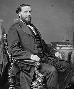 |
Republican | ||
| 41st–42nd | March 4, 1869 – March 3, 1873 |  |
Democratic | Redistricted to the 2nd district | |
| 43rd | March 4, 1873 – March 3, 1875 |  |
Republican | ||
| 44th | March 4, 1875 – March 3, 1877 |  |
Democratic | ||
| 45th | March 4, 1877 – March 3, 1879 |  |
Republican | ||
| 46th–47th | March 3, 1879 – March 3, 1883 |  |
Democratic | Redistricted to the 10th district | |
| 48th–53rd | March 4, 1883 – March 3, 1895 | 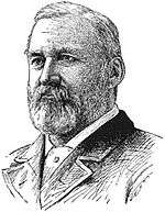 |
Democratic | Redistricted from the 12th district | |
| 54th | March 4, 1895 – March 3, 1897 | 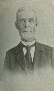 |
Republican | ||
| 55th | March 4, 1897 – June 1, 1897 | Vacant | |||
| 55th–64th | June 1, 1897 – March 3, 1917 | 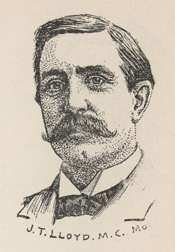 |
Democratic | Elected after death of Rep-elect Richard P. Giles | |
| 65th–66th | March 4, 1917 – March 3, 1921 | 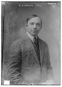 |
Democratic | ||
| 67th | March 4, 1921 – December 5, 1922 | 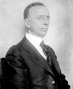 |
Republican | Resigned | |
| December 5, 1922 – March 4, 1923 | Vacant | ||||
| 68th–72nd | March 4, 1923 – March 3, 1933 | |
Democratic | Redistricted to the At-large district | |
| 73rd | March 4, 1933 – January 3, 1935 | District inactive, all representatives elected At-large on a general ticket | |||
| 74th–77th | January 3, 1935 – January 3, 1943 | |
Democratic | Redistricted to the At-large district | |
| 78th–80th | January 3, 1943 – January 3, 1949 |  |
Republican | ||
| 81st–82nd | January 3, 1949 – January 3, 1953 | %2C_1922.jpg) |
Democratic | ||
| 83rd–90th | January 3, 1953 – January 3, 1969 | .jpg) |
Democratic | Redistricted from the 13th district | |
| 91st–106th | January 3, 1969 – January 3, 2001 |  |
Democratic | ||
| 107th–present | January 3, 2001 – present | .jpg) |
Democratic | ||
Election results from presidential races
| Year | Office | Results | Political parties that won the district |
|---|---|---|---|
| 2000 | President | Al Gore 72 - George W. Bush 26% | Democrat |
| 2004 | President | John Kerry 75 - George W. Bush 25% | Democrat |
| 2008 | President | Barack Obama 80 - John McCain 19% | Democrat |
| 2012 | President | Barack Obama 80 - Mitt Romney 19% | Democrat |
| 2016 | President | Hillary Clinton 77 - Donald Trump 19% | Democrat |
Historical district boundaries
See also
References
- ↑ "Partisan Voting Index – Districts of the 115th Congress" (PDF). The Cook Political Report. April 7, 2017. Retrieved April 7, 2017.
- Martis, Kenneth C. (1989). The Historical Atlas of Political Parties in the United States Congress. New York: Macmillan Publishing Company.
- Martis, Kenneth C. (1982). The Historical Atlas of United States Congressional Districts. New York: Macmillan Publishing Company.
- Congressional Biographical Directory of the United States 1774–present
- https://web.archive.org/web/20131013222920/http://2010.census.gov/2010census/popmap/
Coordinates: 38°43′42″N 90°17′46″W / 38.72833°N 90.29611°W
This article is issued from
Wikipedia.
The text is licensed under Creative Commons - Attribution - Sharealike.
Additional terms may apply for the media files.