Meadow Brook, Minnesota
| Meadow Brook, Minnesota | |
|---|---|
| Unincorporated community | |
 Meadow Brook, Minnesota Location of the community of Meadow Brook within Linden Grove Township, Saint Louis County  Meadow Brook, Minnesota Meadow Brook, Minnesota (the US) | |
| Coordinates: 47°51′46″N 92°57′17″W / 47.86278°N 92.95472°WCoordinates: 47°51′46″N 92°57′17″W / 47.86278°N 92.95472°W | |
| Country | United States |
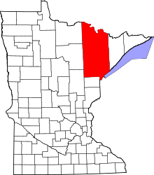
| State | Minnesota |
| County | Saint Louis |
| Township | Linden Grove Township |
| Elevation | 1,289 ft (393 m) |
| Population | |
| • Total | 10 |
| Time zone | UTC-6 (Central (CST)) |
| • Summer (DST) | UTC-5 (CDT) |
| ZIP code | 55723 |
| Area code(s) | 218 |
| GNIS feature ID | 661895[1] |
Meadow Brook is an unincorporated community in Linden Grove Township, Saint Louis County, Minnesota, United States.
The community is located 12 miles west of Cook at the intersection of State Highway 1 (MN 1) and Saint Louis County Road 139 (Range Line Road).
References
This article is issued from
Wikipedia.
The text is licensed under Creative Commons - Attribution - Sharealike.
Additional terms may apply for the media files.