McComber, Minnesota
| McComber, Minnesota | |
|---|---|
| Unincorporated community | |
 McComber, Minnesota Location of the community of McComber within Eagles Nest Township, Saint Louis County  McComber, Minnesota McComber, Minnesota (the US) | |
| Coordinates: 47°50′56″N 92°03′56″W / 47.84889°N 92.06556°WCoordinates: 47°50′56″N 92°03′56″W / 47.84889°N 92.06556°W | |
| Country | United States |
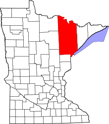
| State | Minnesota |
| County | Saint Louis |
| Township | Eagles Nest Township |
| Elevation | 1,470 ft (450 m) |
| Population | |
| • Total | 30 |
| Time zone | UTC-6 (Central (CST)) |
| • Summer (DST) | UTC-5 (CDT) |
| ZIP code | 55731 |
| Area code(s) | 218 |
| GNIS feature ID | 661886[1] |
McComber is an unincorporated community in Eagles Nest Township, Saint Louis County, Minnesota, United States.
The community is located between Tower and Ely on State Highway 1 (MN 1) and State Highway 169 (MN 169).
Bear Head Lake State Park is nearby.
The boundary line between Eagles Nest Township and Morse Township is also in the vicinity.
References
This article is issued from
Wikipedia.
The text is licensed under Creative Commons - Attribution - Sharealike.
Additional terms may apply for the media files.