Maulin
| Maulin | |
|---|---|
| Málainn | |
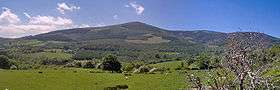 North face | |
| Highest point | |
| Elevation | 570 m (1,870 ft) [1] |
| Prominence | 70[1] m (230 ft) |
| Coordinates | 53°09′22″N 6°13′50″W / 53.15611°N 6.23056°WCoordinates: 53°09′22″N 6°13′50″W / 53.15611°N 6.23056°W |
| Naming | |
| Translation | High or sloping ground (Irish) |
| Pronunciation | Irish: [ˈmˠaːɫ̪ən̠ʲ ] |
| Geography | |
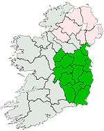
 Maulin Location in Ireland | |
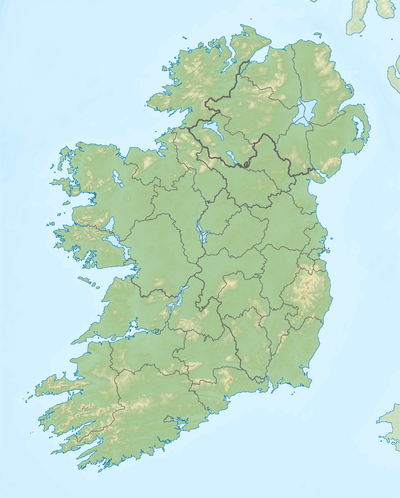
| Location | Wicklow, Republic of Ireland |
| Parent range | Wicklow Mountains |
| OSI/OSNI grid | O184130 |
| Topo map | OSi Discovery 56 |
| Climbing | |
| Easiest route | Off Wicklow Way, from east |
Maulin (Irish: Málainn, meaning "High or sloping ground") is a hill located in the northeastern section of the Wicklow Mountains, close to the border with County Dublin.
The mountain can be found on a side trail off the main Wicklow Way. It is accessible via marked trails from Crone Wood carpark, located south-west of Enniskerry. The summit has views of the northern part of the Wicklow hills, including The Great Sugar Loaf and Djouce Mountain. The route to the summit is waymarked for the use of hillwalkers.
Knockree An Óige youth hostel is located just below the summit.
Much of the north face is forested with a Sitka spruce plantation, known as Crone Wood.
See also
References
- 1 2 Maulin , mountainviews.ie
This article is issued from
Wikipedia.
The text is licensed under Creative Commons - Attribution - Sharealike.
Additional terms may apply for the media files.