Cupidstown Hill
| Cupidstown Hill | |
|---|---|
| Cnoc Bhaile Cupid | |
 Cnoc Bhaile Cupid | |
| Highest point | |
| Elevation | 379 m (1,243 ft) [1] |
| Prominence | 54 m (177 ft) [1] |
| Coordinates | 53°13′33.57″N 6°29′32.84″W / 53.2259917°N 6.4924556°WCoordinates: 53°13′33.57″N 6°29′32.84″W / 53.2259917°N 6.4924556°W |
| Naming | |
| Translation | hill of Cupidstown (Irish) |
| Geography | |
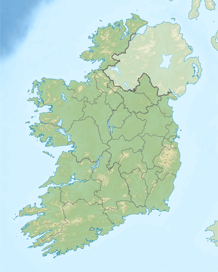 Cupidstown Hill Ireland | |
| Location | Kildare, Republic of Ireland |
| Parent range | Wicklow Mountains |
| Topo map | OSi Discovery 50 |
Cupidstown Hill (from Irish Cnoc Bhaile Cupid, meaning 'hill of Cupidstown') is a hill in Northeast County Kildare, Ireland, on the fringes of the Dublin Mountains. It lies 11.6 kilometres (7.2 mi) east of Naas.
The origin of the name is uncertain; "Cupid" may have originally been Cuthbert, Cudlipp or coppis.[2]
Geography
At 379 metres it is the highest summit in Kildare, almost twice as high as the Hill of Allen. But Cupidstown Hill is lesser known than other summits in Kildare as it is dwarfed by nearby mountains such as Kippure. It is just above the village of Kilteel, and is the 872nd highest summit in Ireland.
References
- 1 2 Cupidstown Hill, mountainviews.ie
- ↑ https://www.logainm.ie/en/25937?s=Cupidstown
See also
Places in County Kildare | ||
|---|---|---|
| Towns |  | |
| Villages and Townlands |
| |
| Landforms | ||
| Topics |
| |
This article is issued from
Wikipedia.
The text is licensed under Creative Commons - Attribution - Sharealike.
Additional terms may apply for the media files.