Marichuela Formation
| Marichuela Formation Stratigraphic range: Late Miocene-Early Pliocene ~8.2–5 Ma | |
|---|---|
| Type | Geological formation |
| Underlies | Tilatá Formation |
| Overlies | Guadalupe Group |
| Thickness | up to 40 metres (130 ft) |
| Lithology | |
| Primary | Conglomerate |
| Location | |
| Coordinates | 4°21′40.3″N 74°07′50″W / 4.361194°N 74.13056°WCoordinates: 4°21′40.3″N 74°07′50″W / 4.361194°N 74.13056°W |
| Region |
Bogotá savanna, Altiplano Cundiboyacense Eastern Ranges, Andes |
| Country |
|
| Type section | |
| Named for | Marichuela neighbourhood |
| Named by | Helmens & Hammen |
| Location | Usme, Bogotá |
| Year defined | 1995 |
| Coordinates | 4°21′40.3″N 74°07′50″W / 4.361194°N 74.13056°W |
| Region | Cundinamarca |
| Country |
|
The Marichuela Formation (Spanish: Formación Marichuela, N1m) is a geological formation of the Bogotá savanna, Altiplano Cundiboyacense, Eastern Ranges of the Colombian Andes. The formation consists of coarse to very coarse conglomerates. The Marichuela Formation dates to the Neogene period; Late Miocene to Early Pliocene epochs, and has a maximum thickness of 40 metres (130 ft).
Etymology
The formation was defined by Helmens and Van der Hammen in 1995 and named after the Marichuela neighbourhood of Usme.[1] Part of the Marichuela Formation had been included in the Conos de Tunjuelo, defined by Julivert in 1961.[2]
Description
Lithologies
The Marichuela Formation consists of coarse to very coarse conglomerates.[1]
Stratigraphy and depositional environment
The Marichuela Formation unconformably overlies the Cretaceous rocks of the Guadalupe Group. The age has been estimated to be Late Miocene to Early Pliocene.[3] The depositional environment has been interpreted as alluvial fans, caused by earthquakes or heavy rains.[4]
Outcrops
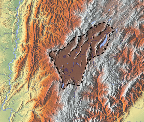
The Marichuela Formation is apart from its type locality in the Usme Synclinal, the valley of the Tunjuelo River, found in the synclinals of Neusa, Sisga and La Calera.[1]
See also
References
Bibliography
- Montoya Arenas, Diana María, and Germán Alfonso Reyes Torres. 2005. Geología de la Sabana de Bogotá, 1–104. INGEOMINAS.
- N., N. s.a. Parque Ecológico Distrital de Montaña Entrenubes – Tomo I – Componente Biofísico – Geología, 36–51. Corporación Suna Hisca.
Maps
- Buitrago, José Alberto; Roberto Terraza M., and Fernando Etayo. 1998. Plancha 228 - Santafé de Bogotá Noreste - 1:100,000, 1. INGEOMINAS. Accessed 2017-06-06.
External links
- Gómez, J.; N.E. Montes; Á. Nivia, and H. Diederix. 2015. Plancha 5-09 del Atlas Geológico de Colombia 2015 – escala 1:500,000, 1. Servicio Geológico Colombiano. Accessed 2017-03-16.